Markala night lights from space
Night Light of Markala (Ségou) from space (Mali) Src. Average luminocity for 10x10km area is 4.1674% and for 50x50km: 0.2731%.

Analysis of Markala night lights 2016
Square area 10x10 km:
 0%
0%90-99
0%80-89
0%70-79
2.48%60-69
0%50-59
0.83%40-49
0%30-39
3.31%20-29
0%10-19
0.83%0-9
92.56%Square area 50x50 km:
0%90-99
0%80-89
0%70-79
0.13%60-69
0%50-59
0.04%40-49
0.01%30-39
0.17%20-29
0.07%10-19
0.05%0-9
99.54%Clear (daylight) street map image can be seen on geolist.org.
Map coordinates:
14° 23' 3.2" North, 6° 46' 8.5" West
13° 42' 7.6" North, 6° 3' 57.2" West
13° 1' 4.8" North, 5° 21' 46" West
Some cities around Markala sort by population:
• Koutiala
159.6 km =99.2 mi,  155°
155°
• Ségou
34.1 km =21.2 mi,  208°
208°
• Banamba
150.3 km =93.4 mi,  263°
263°
• San
134.1 km =83.3 mi,  109°
109°
• Ké-Macina
81.8 km =50.8 mi,  69°
69°
• Ntossoni
134.2 km =83.4 mi,  166°
166°
• Ténenkou
149.7 km =93 mi,  55°
55°
• Kinmparana
156.2 km =97.1 mi,  127°
127°
2453662 (p: 53,738)
Sources (retrieved 2019-11-25):
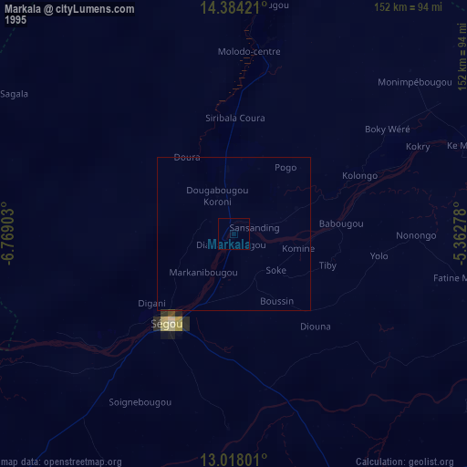
» NASA, Earths city lights 1995
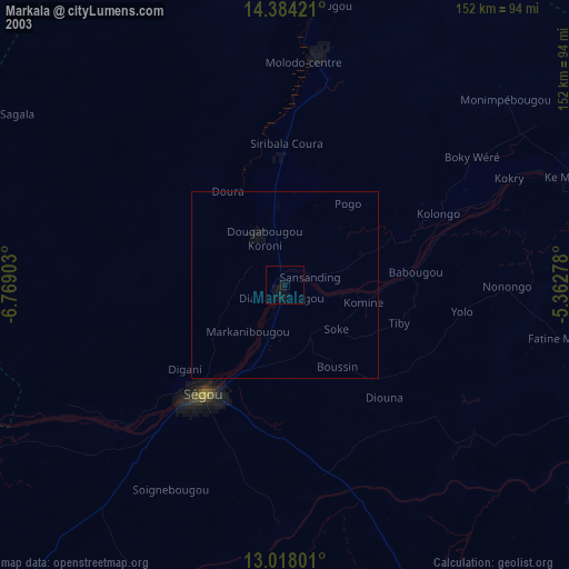
» NASA city lights 2003
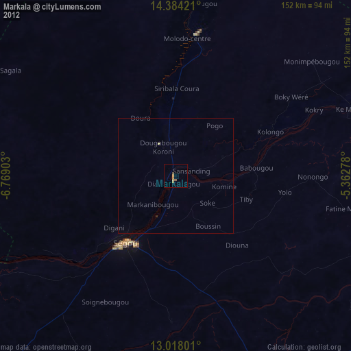
» Earth at Night: Flat Maps 2012, 2016