Kinmparana night lights from space
Night Light of Kinmparana (Ségou) from space (Mali) Src. Average luminocity for 10x10km area is 0% and for 50x50km: 0%.
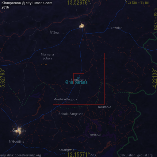
Analysis of Kinmparana night lights 2016
Square area 10x10 km:
 0%
0%90-99
0%80-89
0%70-79
0%60-69
0%50-59
0%40-49
0%30-39
0%20-29
0%10-19
0%0-9
100%Square area 50x50 km:
0%90-99
0%80-89
0%70-79
0%60-69
0%50-59
0%40-49
0%30-39
0%20-29
0%10-19
0%0-9
100%Clear (daylight) street map image can be seen on geolist.org.
Map coordinates:
13° 31' 36.3" North, 5° 37' 39.5" West
12° 50' 31.8" North, 4° 55' 28.2" West
12° 9' 20.6" North, 4° 13' 17" West
Some cities around Kinmparana sort by population:
• Koutiala
77.1 km =47.9 mi,  229°
229°
• Nouna, BF
115.8 km =72 mi,  96°
96°
• San
51.4 km =31.9 mi,  3°
3°
• Djénné
124.9 km =77.6 mi,  18°
18°
• Yorosso
56.2 km =34.9 mi,  163°
163°
• Salanso, BF
117.6 km =73.1 mi,  129°
129°
• Ké-Macina
133.3 km =82.8 mi,  339°
339°
• Ntossoni
98.1 km =61 mi,  249°
249°
2455456 (p: 6,014)
Sources (retrieved 2019-11-25):
» Earth at Night: Flat Maps 2012, 2016