Bandiagara night lights from space
Night Light of Bandiagara (Mopti) from space (Mali) Src. Average luminocity for 10x10km area is 3.4978% and for 50x50km: 0.1348%.
Analysis of Bandiagara night lights 2016
Square area 10x10 km:
 0%
0%90-99
0%80-89
1.73%70-79
0%60-69
0.87%50-59
1.3%40-49
0.43%30-39
0%20-29
0.87%10-19
0%0-9
94.81%Square area 50x50 km:
0%90-99
0%80-89
0.07%70-79
0%60-69
0.03%50-59
0.05%40-49
0.02%30-39
0%20-29
0.03%10-19
0%0-9
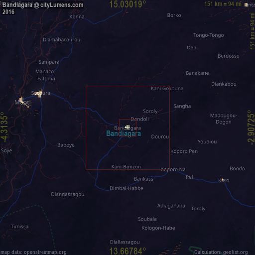
99.8%Clear (daylight) street map image can be seen on geolist.org.
Map coordinates:
15° 1' 48.7" North, 4° 18' 48.6" West
14° 21' 0.2" North, 3° 36' 37.4" West
13° 40' 4.2" North, 2° 54' 26.1" West
Some cities around Bandiagara sort by population:
• Mopti
63.4 km =39.4 mi,  283°
283°
• Ouahigouya, BF
154.1 km =95.8 mi,  123°
123°
• Djénné
113 km =70.2 mi,  244°
244°
• Titao, BF
178.7 km =111 mi,  111°
111°
• Tougan, BF
153.6 km =95.4 mi,  157°
157°
• Douentza
101.5 km =63.1 mi,  44°
44°
• Ténenkou
141.2 km =87.7 mi,  274°
274°
• Niafunké
180.6 km =112.2 mi,  346°
346°
2460489 (p: 6,853)
Sources (retrieved 2019-11-25):
» Earth at Night: Flat Maps 2012, 2016