San night lights from space
Night Light of San (Ségou) from space (Mali) Src. Average luminocity for 10x10km area is 9.2893% and for 50x50km: 0.3849%.

Analysis of San night lights 2016
Square area 10x10 km:
 0%
0%90-99
0%80-89
1.86%70-79
4.13%60-69
1.45%50-59
0%40-49
2.07%30-39
2.89%20-29
0.83%10-19
0%0-9
86.78%Square area 50x50 km:
0%90-99
0%80-89
0.07%70-79
0.17%60-69
0.06%50-59
0%40-49
0.08%30-39
0.12%20-29
0.03%10-19
0%0-9
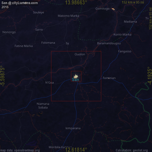
99.47%Clear (daylight) street map image can be seen on geolist.org.
Map coordinates:
13° 59' 11.9" North, 5° 35' 55.5" West
13° 18' 12.1" North, 4° 53' 44.2" West
12° 37' 5.3" North, 4° 11' 33" West
Some cities around San sort by population:
• Koutiala
118.6 km =73.7 mi,  211°
211°
• Nouna, BF
128.8 km =80 mi,  119°
119°
• Djénné
76.5 km =47.5 mi,  28°
28°
• Yorosso
105.9 km =65.8 mi,  173°
173°
• Ké-Macina
88.8 km =55.2 mi,  325°
325°
• Ntossoni
127.9 km =79.5 mi,  227°
227°
• Ténenkou
128.3 km =79.7 mi,  358°
358°
• Kinmparana
51.4 km =31.9 mi,  183°
183°
2451778 (p: 24,811)
Sources (retrieved 2019-11-25):
» Earth at Night: Flat Maps 2012, 2016