Mopti night lights from space
Night Light of Mopti from space (Mali) Src. Average luminocity for 10x10km area is 7.8377% and for 50x50km: 0.7851%.
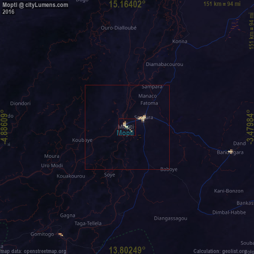

Analysis of Mopti night lights 2016
Square area 10x10 km:
 0%
0%90-99
0.22%80-89
3.9%70-79
1.08%60-69
0%50-59
2.6%40-49
0%30-39
1.73%20-29
0%10-19
0.87%0-9
89.61%Square area 50x50 km:
0%90-99
0.02%80-89
0.33%70-79
0.12%60-69
0.1%50-59
0.13%40-49
0.03%30-39
0.17%20-29
0.07%10-19
0.05%0-9
98.98%Clear (daylight) street map image can be seen on geolist.org.
Map coordinates:
15° 9' 50.5" North, 4° 53' 9.9" West
14° 29' 3.5" North, 4° 10' 58.7" West
13° 48' 9" North, 3° 28' 47.4" West
Some cities around Mopti sort by population:
• San
152.2 km =94.6 mi,  210°
210°
• Djénné
75.7 km =47 mi, 211°
• Tougan, BF
197.7 km =122.8 mi,  142°
142°
• Ké-Macina
139.2 km =86.5 mi,  245°
245°
• Douentza
144.5 km =89.8 mi,  66°
66°
• Ténenkou
79.1 km =49.2 mi,  267°
267°
• Niafunké
162.3 km =100.8 mi,  7°
7°
• Bandiagara
63.4 km =39.4 mi,  103°
103°
2453348 (p: 108,456)
Sources (retrieved 2019-11-25):
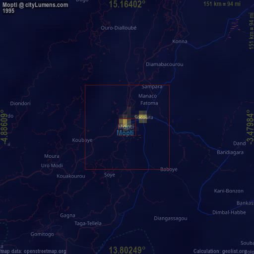
» NASA, Earths city lights 1995
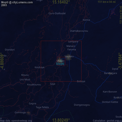
» NASA city lights 2003
» Earth at Night: Flat Maps 2012, 2016