Djénné night lights from space
Night Light of Djénné (Mopti) from space (Mali) Src. Average luminocity for 10x10km area is 2.1198% and for 50x50km: 0.0848%.

Analysis of Djénné night lights 2016
Square area 10x10 km:
 0%
0%90-99
0%80-89
0%70-79
1.65%60-69
0.83%50-59
0%40-49
0%30-39
0.83%20-29
0%10-19
0%0-9
96.69%Square area 50x50 km:
0%90-99
0%80-89
0%70-79
0.07%60-69
0.03%50-59
0%40-49
0%30-39
0.03%20-29
0%10-19
0%0-9
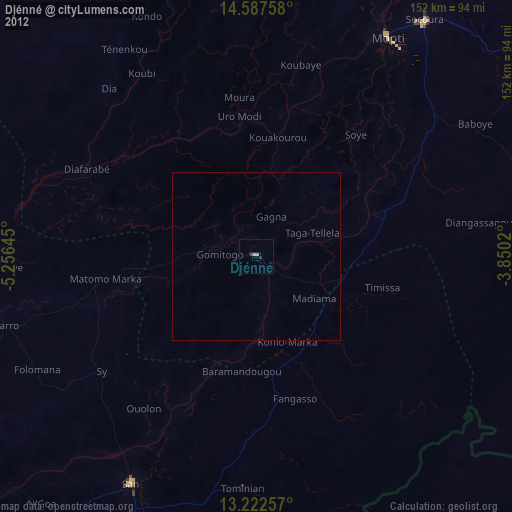
99.87%Clear (daylight) street map image can be seen on geolist.org.
Map coordinates:
14° 35' 15.3" North, 5° 15' 23.2" West
13° 54' 21.9" North, 4° 33' 12" West
13° 13' 21.3" North, 3° 51' 0.7" West
Some cities around Djénné sort by population:
• Mopti
75.7 km =47 mi,  31°
31°
• Markala
164.9 km =102.5 mi,  262°
262°
• Nouna, BF
150.7 km =93.6 mi,  150°
150°
• San
76.5 km =47.5 mi,  208°
208°
• Ké-Macina
87.1 km =54.1 mi,  274°
274°
• Ténenkou
72.7 km =45.2 mi,  327°
327°
• Bandiagara
113 km =70.2 mi,  64°
64°
• Kinmparana
124.9 km =77.6 mi,  198°
198°
2458589 (p: 22,382)
Sources (retrieved 2019-11-25):
» Earth at Night: Flat Maps 2012, 2016