Sikasso night lights from space
Night Light of Sikasso from space (Mali) Src. Average luminocity for 10x10km area is 27.1255% and for 50x50km: 1.211%.
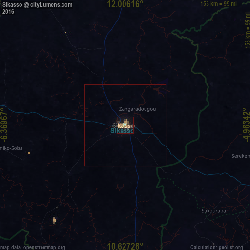

Analysis of Sikasso night lights 2016
Square area 10x10 km:
 0%
0%90-99
0.87%80-89
4.11%70-79
8.44%60-69
9.96%50-59
1.08%40-49
3.68%30-39
6.71%20-29
1.95%10-19
17.75%0-9
45.45%Square area 50x50 km:
0%90-99
0.03%80-89
0.16%70-79
0.33%60-69
0.39%50-59
0.04%40-49
0.18%30-39
0.26%20-29
0.11%10-19
0.7%0-9
97.79%Clear (daylight) street map image can be seen on geolist.org.
Map coordinates:
12° 0' 22.2" North, 6° 22' 10.8" West
11° 19' 3.2" North, 5° 39' 59.5" West
10° 37' 38.2" North, 4° 57' 48.3" West
Some cities around Sikasso sort by population:
• Bobo-Dioulasso, BF
150.1 km =93.3 mi,  95°
95°
• Koutiala
121.4 km =75.4 mi,  10°
10°
• Banfora, BF
124.2 km =77.2 mi,  127°
127°
• Tengréla, CI
123.2 km =76.6 mi,  220°
220°
• Yorosso
150.9 km =93.8 mi,  39°
39°
• Kolondiéba
136.1 km =84.6 mi,  259°
259°
• Ntossoni
135.3 km =84.1 mi,  355°
355°
• Kinmparana
187.7 km =116.6 mi,  25°
25°
2451185 (p: 144,786)
Sources (retrieved 2019-11-25):
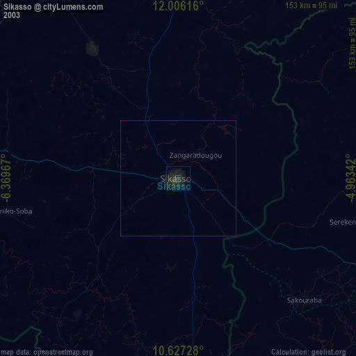
» NASA, Earths city lights 1995
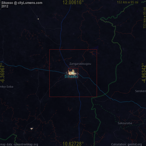
» NASA city lights 2003
» Earth at Night: Flat Maps 2012, 2016