Yorosso night lights from space
Night Light of Yorosso (Sikasso) from space (Mali) Src. Average luminocity for 10x10km area is 0% and for 50x50km: 0.0264%.
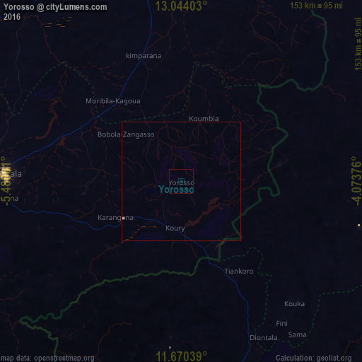
Analysis of Yorosso night lights 2016
Square area 10x10 km:
 0%
0%90-99
0%80-89
0%70-79
0%60-69
0%50-59
0%40-49
0%30-39
0%20-29
0%10-19
0%0-9
100%Square area 50x50 km:
0%90-99
0%80-89
0%70-79
0.03%60-69
0%50-59
0%40-49
0%30-39
0%20-29
0%10-19
0%0-9
99.97%Clear (daylight) street map image can be seen on geolist.org.
Map coordinates:
13° 2' 38.5" North, 5° 28' 48" West
12° 21' 29.2" North, 4° 46' 36.8" West
11° 40' 13.4" North, 4° 4' 25.5" West
Some cities around Yorosso sort by population:
• Bobo-Dioulasso, BF
141.3 km =87.8 mi,  158°
158°
• Koutiala
74.7 km =46.4 mi,  272°
272°
• Dédougou, BF
143.4 km =89.1 mi,  85°
85°
• Nouna, BF
107.4 km =66.7 mi,  67°
67°
• San
105.9 km =65.8 mi,  353°
353°
• Salanso, BF
77.9 km =48.4 mi,  105°
105°
• Ntossoni
109.5 km =68 mi,  280°
280°
• Kinmparana
56.2 km =34.9 mi,  343°
343°
2448442 (p: 17,447)
Sources (retrieved 2019-11-25):
» Earth at Night: Flat Maps 2012, 2016