Ntossoni night lights from space
Night Light of Ntossoni (Sikasso) from space (Mali) Src. Average luminocity for 10x10km area is 0% and for 50x50km: 0%.
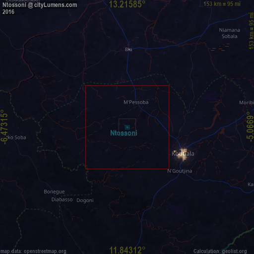
Analysis of Ntossoni night lights 2016
Square area 10x10 km:
 0%
0%90-99
0%80-89
0%70-79
0%60-69
0%50-59
0%40-49
0%30-39
0%20-29
0%10-19
0%0-9
100%Square area 50x50 km:
0%90-99
0%80-89
0%70-79
0%60-69
0%50-59
0%40-49
0%30-39
0%20-29
0%10-19
0%0-9
100%Clear (daylight) street map image can be seen on geolist.org.
Map coordinates:
13° 12' 57.1" North, 6° 28' 23.3" West
12° 31' 49.4" North, 5° 46' 12.1" West
11° 50' 35.2" North, 5° 4' 0.8" West
Some cities around Ntossoni sort by population:
• Sikasso
135.3 km =84.1 mi,  175°
175°
• Koutiala
36.6 km =22.7 mi,  114°
114°
• Ségou
111.2 km =69.1 mi,  334°
334°
• Markala
134.2 km =83.4 mi,  346°
346°
• San
127.9 km =79.5 mi,  47°
47°
• Yorosso
109.5 km =68 mi,  100°
100°
• Ké-Macina
165.5 km =102.8 mi,  15°
15°
• Kinmparana
98.1 km =61 mi,  69°
69°
2452510 (p: 8,700)
Sources (retrieved 2019-11-25):
» Earth at Night: Flat Maps 2012, 2016