Koutiala night lights from space
Night Light of Koutiala (Sikasso) from space (Mali) Src. Average luminocity for 10x10km area is 22.1839% and for 50x50km: 0.9959%.
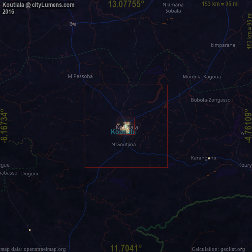
Analysis of Koutiala night lights 2016
Square area 10x10 km:
 0%
0%90-99
0.83%80-89
3.93%70-79
5.79%60-69
5.58%50-59
2.69%40-49
3.1%30-39
6.2%20-29
2.89%10-19
9.3%0-9
59.71%Square area 50x50 km:
0%90-99
0.03%80-89
0.16%70-79
0.24%60-69
0.23%50-59
0.13%40-49
0.13%30-39
0.25%20-29
0.12%10-19
0.38%0-9
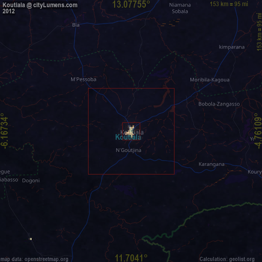
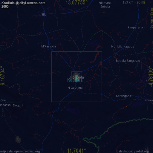
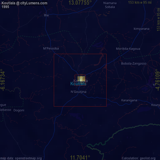
98.34%Clear (daylight) street map image can be seen on geolist.org.
Map coordinates:
13° 4' 39.2" North, 6° 10' 2.4" West
12° 23' 30.2" North, 5° 27' 51.2" West
11° 42' 14.8" North, 4° 45' 39.9" West
Some cities around Koutiala sort by population:
• Sikasso
121.4 km =75.4 mi,  190°
190°
• Ségou
141.4 km =87.9 mi,  324°
324°
• Markala
159.6 km =99.2 mi,  335°
335°
• San
118.6 km =73.7 mi,  31°
31°
• Yorosso
74.7 km =46.4 mi,  92°
92°
• Salanso, BF
151.8 km =94.3 mi,  99°
99°
• Ntossoni
36.6 km =22.7 mi,  294°
294°
• Kinmparana
77.1 km =47.9 mi,  49°
49°
2454268 (p: 99,353)
Sources (retrieved 2019-11-25):
» NASA, Earths city lights 1995
» NASA city lights 2003
» Earth at Night: Flat Maps 2012, 2016