Banfora night lights from space
Night Light of Banfora (Cascades) from space (Burkina Faso) Src. Average luminocity for 10x10km area is 9.4669% and for 50x50km: 0.4062%.
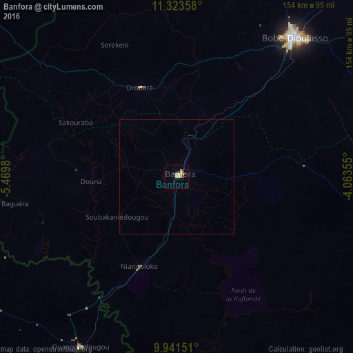
Analysis of Banfora night lights 2016
Square area 10x10 km:
 0.62%
0.62%90-99
0.41%80-89
2.07%70-79
3.51%60-69
0.83%50-59
0%40-49
2.27%30-39
0.62%20-29
2.89%10-19
0.62%0-9
86.16%Square area 50x50 km:
0.03%90-99
0.02%80-89
0.08%70-79
0.14%60-69
0.03%50-59
0%40-49
0.09%30-39
0.03%20-29
0.12%10-19
0.04%0-9
99.42%Clear (daylight) street map image can be seen on geolist.org.
Map coordinates:
11° 19' 24.9" North, 5° 28' 11.3" West
10° 37' 60" North, 4° 46' 0" West
9° 56' 29.4" North, 4° 3' 48.8" West
Some cities around Banfora sort by population:
• Bobo-Dioulasso
79.2 km =49.2 mi,  40°
40°
• Korhogo, CI
161.3 km =100.2 mi,  215°
215°
• Sikasso, ML
124.2 km =77.2 mi,  307°
307°
• Ferkessédougou, CI
124.8 km =77.5 mi,  202°
202°
• Tengréla, CI
180.1 km =111.9 mi,  264°
264°
• Houndé
167 km =103.8 mi,  54°
54°
• Diébougou
169.7 km =105.4 mi,  77°
77°
• Salanso
186.8 km =116.1 mi,  23°
23°
2362909 (p: 60,288)
Sources (retrieved 2019-11-25):
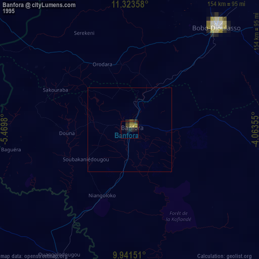
» NASA, Earths city lights 1995
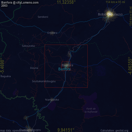
» NASA city lights 2003
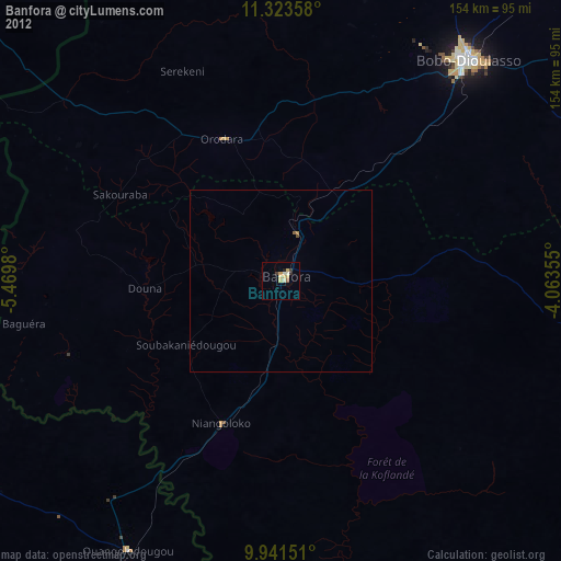
» Earth at Night: Flat Maps 2012, 2016