Kolondiéba night lights from space
Night Light of Kolondiéba (Sikasso) from space (Mali) Src. Average luminocity for 10x10km area is 0% and for 50x50km: 0%.
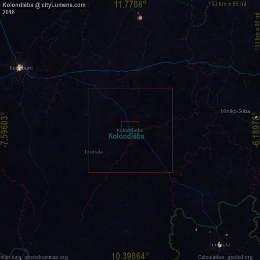
Analysis of Kolondiéba night lights 2016
Square area 10x10 km:
 0%
0%90-99
0%80-89
0%70-79
0%60-69
0%50-59
0%40-49
0%30-39
0%20-29
0%10-19
0%0-9
100%Square area 50x50 km:
0%90-99
0%80-89
0%70-79
0%60-69
0%50-59
0%40-49
0%30-39
0%20-29
0%10-19
0%0-9
100%Clear (daylight) street map image can be seen on geolist.org.
Map coordinates:
11° 46' 43" North, 7° 35' 45.7" West
11° 5' 21.9" North, 6° 53' 34.4" West
10° 23' 55.1" North, 6° 11' 23.2" West
Some cities around Kolondiéba sort by population:
• Sikasso
136.1 km =84.6 mi,  79°
79°
• Odienné, CI
190.9 km =118.6 mi,  202°
202°
• Tengréla, CI
86 km =53.4 mi,  141°
141°
• Boundiali, CI
179.9 km =111.8 mi,  165°
165°
• Bougouni
74 km =46 mi,  299°
299°
• Kangaba
190.7 km =118.5 mi, 299°
• Mandiana, GN
203.3 km =126.3 mi,  255°
255°
• Ntossoni
201.5 km =125.2 mi,  37°
37°
2454934 (p: 10,041)
Sources (retrieved 2019-11-25):
» Earth at Night: Flat Maps 2012, 2016