Bobo-Dioulasso night lights from space
Night Light of Bobo-Dioulasso (Hauts-Bassins) from space (Burkina Faso) Src. Average luminocity for 10x10km area is 69.4177% and for 50x50km: 4.2409%.
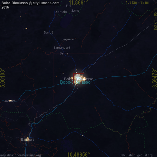
Analysis of Bobo-Dioulasso night lights 2016
Square area 10x10 km:
 16.02%
90-99
16.23%80-89
8.87%70-79
22.29%60-69
5.19%50-59
2.38%40-49
7.79%30-39
4.98%20-29
12.55%10-19
3.68%0-9
0%Square area 50x50 km:
0.66%90-99
0.71%80-89
0.51%70-79
1%60-69
0.42%50-59
0.17%40-49
0.41%30-39
0.34%20-29
1.08%10-19
3.55%0-9
91.16%Clear (daylight) street map image can be seen on geolist.org.
Map coordinates:
11° 51' 58" North, 5° 0' 3.7" West
11° 10' 37.7" North, 4° 17' 52.4" West
10° 29' 11.6" North, 3° 35' 41.2" West
Some cities around Bobo-Dioulasso sort by population:
• Sikasso, ML
150.1 km =93.3 mi,  275°
275°
• Banfora
79.2 km =49.2 mi,  220°
220°
• Houndé
92.4 km =57.4 mi,  67°
67°
• Yorosso, ML
141.3 km =87.8 mi,  338°
338°
• Boromo
161.9 km =100.6 mi, 67°
• Diébougou
116.9 km =72.6 mi,  101°
101°
• Dano
135.3 km =84.1 mi,  91°
91°
• Salanso
113.3 km =70.4 mi,  11°
11°
2362344 (p: 360,106)
Sources (retrieved 2019-11-25):
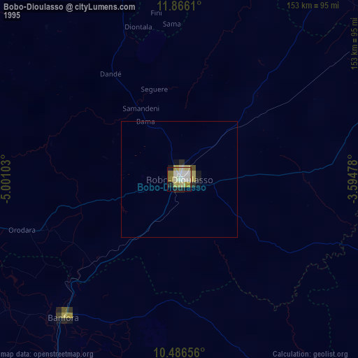
» NASA, Earths city lights 1995
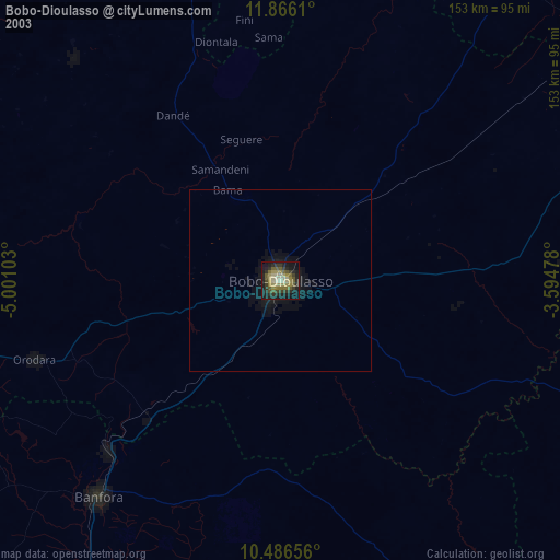
» NASA city lights 2003
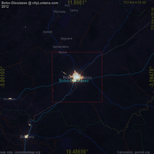
» Earth at Night: Flat Maps 2012, 2016