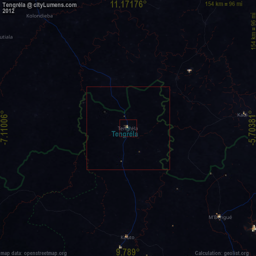
Tengréla night lights from space
Night Light of Tengréla (Savanes) from space (Ivory Coast) Src. Average luminocity for 10x10km area is 2.9298% and for 50x50km: 0.206%.
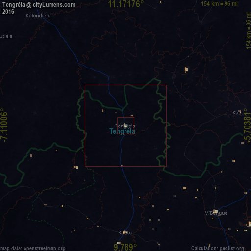
Analysis of Tengréla night lights 2016
Square area 10x10 km:
 0%
0%90-99
0%80-89
0%70-79
1.24%60-69
1.24%50-59
0.83%40-49
0%30-39
0.83%20-29
0%10-19
0.83%0-9
95.04%Square area 50x50 km:
0%90-99
0%80-89
0%70-79
0.05%60-69
0.06%50-59
0.09%40-49
0.03%30-39
0.08%20-29
0.03%10-19
0.03%0-9
99.63%Clear (daylight) street map image can be seen on geolist.org.
Map coordinates:
11° 10' 18.3" North, 7° 6' 36.2" West
10° 28' 52.1" North, 6° 24' 25" West
9° 47' 20.4" North, 5° 42' 13.7" West
Some cities around Tengréla sort by population:
• Korhogo
142.1 km =88.3 mi,  143°
143°
• Sikasso, ML
123.2 km =76.6 mi,  40°
40°
• Ferkessédougou
165.5 km =102.8 mi,  126°
126°
• Banfora, BF
180.1 km =111.9 mi,  84°
84°
• Odienné
166.9 km =103.7 mi,  229°
229°
• Boundiali
107 km =66.5 mi,  184°
184°
• Bougouni, ML
157 km =97.6 mi,  311°
311°
• Kolondiéba, ML
86 km =53.4 mi,  321°
321°
2280589 (p: 39,277)
Sources (retrieved 2019-11-25):
» Earth at Night: Flat Maps 2012, 2016