Tougan night lights from space
Night Light of Tougan (Boucle du Mouhoun) from space (Burkina Faso) Src. Average luminocity for 10x10km area is 1.6602% and for 50x50km: 0.064%.
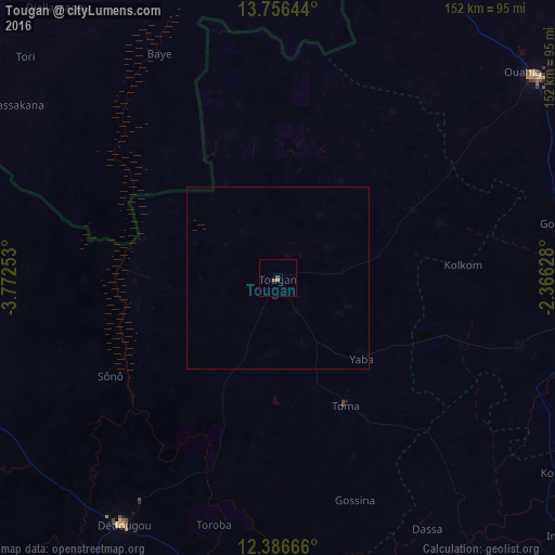
Analysis of Tougan night lights 2016
Square area 10x10 km:
 0%
0%90-99
0%80-89
0%70-79
0.22%60-69
0.65%50-59
0.87%40-49
0.65%30-39
0.22%20-29
0%10-19
0%0-9
97.4%Square area 50x50 km:
0%90-99
0%80-89
0%70-79
0.01%60-69
0.03%50-59
0.03%40-49
0.03%30-39
0.01%20-29
0%10-19
0%0-9
99.9%Clear (daylight) street map image can be seen on geolist.org.
Map coordinates:
13° 45' 23.2" North, 3° 46' 21.1" West
13° 4' 21" North, 3° 4' 9.8" West
12° 23' 12" North, 2° 21' 58.6" West
Some cities around Tougan sort by population:
• Koudougou
119.1 km =74 mi,  139°
139°
• Ouahigouya
90.2 km =56 mi,  51°
51°
• Dédougou
79.9 km =49.6 mi,  212°
212°
• Réo
105.9 km =65.8 mi, 142°
• Nouna
94.1 km =58.5 mi,  246°
246°
• Yako
88.5 km =55 mi,  98°
98°
• Gourcy
78.4 km =48.7 mi,  78°
78°
• Toma
39.5 km =24.5 mi,  152°
152°
2354176 (p: 17,590)
Sources (retrieved 2019-11-25):
» Earth at Night: Flat Maps 2012, 2016