Douentza night lights from space
Night Light of Douentza (Mopti) from space (Mali) Src. Average luminocity for 10x10km area is 2.9463% and for 50x50km: 0.1179%.
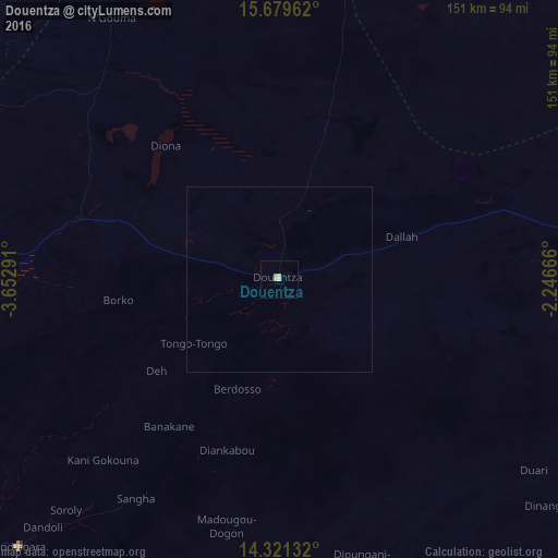
Analysis of Douentza night lights 2016
Square area 10x10 km:
 0%
0%90-99
0%80-89
2.07%70-79
0.41%60-69
0.83%50-59
0%40-49
0%30-39
0%20-29
0%10-19
0%0-9
96.69%Square area 50x50 km:
0%90-99
0%80-89
0.08%70-79
0.02%60-69
0.03%50-59
0%40-49
0%30-39
0%20-29
0%10-19
0%0-9
99.87%Clear (daylight) street map image can be seen on geolist.org.
Map coordinates:
15° 40' 46.6" North, 3° 39' 10.5" West
15° 0' 5.6" North, 2° 56' 59.2" West
14° 19' 16.8" North, 2° 14' 48" West
Some cities around Douentza sort by population:
• Mopti
144.5 km =89.8 mi,  246°
246°
• Ouahigouya, BF
167.7 km =104.2 mi,  160°
160°
• Timbuktu
197.1 km =122.5 mi,  358°
358°
• Djibo, BF
174.3 km =108.3 mi,  125°
125°
• Titao, BF
167 km =103.8 mi,  145°
145°
• Goundam
175 km =108.7 mi,  333°
333°
• Niafunké
152.1 km =94.5 mi,  312°
312°
• Bandiagara
101.5 km =63.1 mi,  224°
224°
2458334 (p: 8,054)
Sources (retrieved 2019-11-25):
» Earth at Night: Flat Maps 2012, 2016