Salanso night lights from space
Night Light of Salanso (Boucle du Mouhoun) from space (Burkina Faso) Src. Average luminocity for 10x10km area is 0.6736% and for 50x50km: 0.0274%.
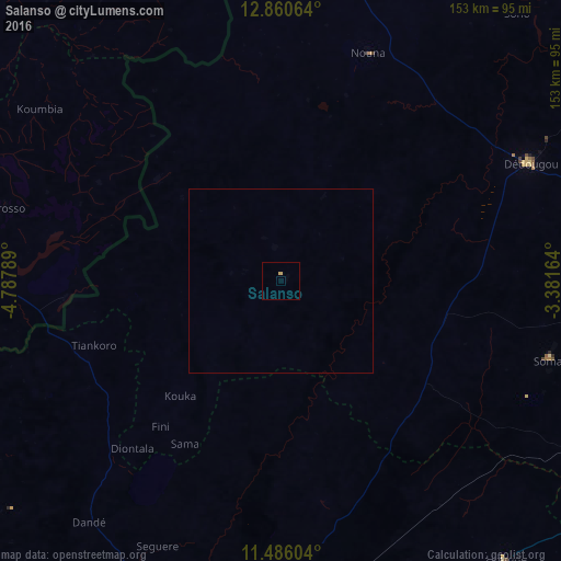
Analysis of Salanso night lights 2016
Square area 10x10 km:
 0%
0%90-99
0%80-89
0.41%70-79
0.41%60-69
0%50-59
0%40-49
0%30-39
0%20-29
0%10-19
0%0-9
99.17%Square area 50x50 km:
0%90-99
0%80-89
0.02%70-79
0.02%60-69
0%50-59
0%40-49
0%30-39
0%20-29
0%10-19
0%0-9
99.97%Clear (daylight) street map image can be seen on geolist.org.
Map coordinates:
12° 51' 38.3" North, 4° 47' 16.4" West
12° 10' 27.2" North, 4° 5' 5.2" West
11° 29' 9.7" North, 3° 22' 53.9" West
Some cities around Salanso sort by population:
• Bobo-Dioulasso
113.3 km =70.4 mi,  191°
191°
• Dédougou
75 km =46.6 mi,  64°
64°
• Houndé
97.2 km =60.4 mi,  140°
140°
• Nouna
66.3 km =41.2 mi,  21°
21°
• Yorosso, ML
77.9 km =48.4 mi,  285°
285°
• Boromo
134.3 km =83.5 mi,  110°
110°
• Toma
144.2 km =89.6 mi, 63°
• Kinmparana, ML
117.6 km =73.1 mi,  309°
309°
2355404 (p: 10,385)
Sources (retrieved 2019-11-25):
» Earth at Night: Flat Maps 2012, 2016