Koulikoro night lights from space
Night Light of Koulikoro from space (Mali) Src. Average luminocity for 10x10km area is 4.855% and for 50x50km: 0.1929%.
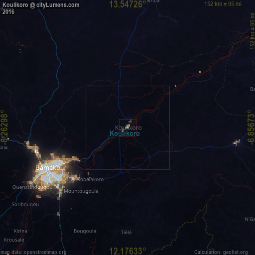
Analysis of Koulikoro night lights 2016
Square area 10x10 km:
 0%
0%90-99
0%80-89
0%70-79
1.52%60-69
1.08%50-59
0%40-49
1.08%30-39
4.98%20-29
1.08%10-19
0.65%0-9
89.61%Square area 50x50 km:
0%90-99
0%80-89
0%70-79
0.06%60-69
0.04%50-59
0%40-49
0.04%30-39
0.2%20-29
0.04%10-19
0.03%0-9
99.59%Clear (daylight) street map image can be seen on geolist.org.
Map coordinates:
13° 32' 50.1" North, 8° 15' 46.7" West
12° 51' 45.8" North, 7° 33' 35.5" West
12° 10' 34.8" North, 6° 51' 24.2" West
Some cities around Koulikoro sort by population:
• Bamako
53.3 km =33.1 mi,  243°
243°
• Ségou
158.7 km =98.6 mi,  66°
66°
• Markala
186.7 km =116 mi,  60°
60°
• Kolokani
94.2 km =58.5 mi,  326°
326°
• Kati
57.1 km =35.5 mi,  256°
256°
• Bougouni
160.9 km =100 mi,  177°
177°
• Banamba
77.1 km =47.9 mi,  9°
9°
• Kangaba
139.1 km =86.4 mi,  221°
221°
2454530 (p: 23,919)
Sources (retrieved 2019-11-25):
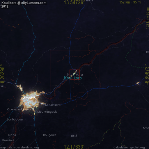
» Earth at Night: Flat Maps 2012, 2016