Kangaba night lights from space
Night Light of Kangaba (Koulikoro) from space (Mali) Src. Average luminocity for 10x10km area is 0.4959% and for 50x50km: 0.0202%.
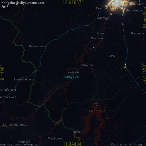
Analysis of Kangaba night lights 2016
Square area 10x10 km:
 0%
0%90-99
0%80-89
0%70-79
0%60-69
0%50-59
0.83%40-49
0%30-39
0%20-29
0%10-19
0%0-9
99.17%Square area 50x50 km:
0%90-99
0%80-89
0%70-79
0%60-69
0%50-59
0.03%40-49
0%30-39
0%20-29
0%10-19
0%0-9
99.97%Clear (daylight) street map image can be seen on geolist.org.
Map coordinates:
12° 37' 13.3" North, 9° 7' 11.3" West
11° 55' 60" North, 8° 25' 0" West
11° 14' 40.3" North, 7° 42' 48.8" West
Some cities around Kangaba sort by population:
• Bamako
91.6 km =56.9 mi,  29°
29°
• Kolokani
187 km =116.2 mi,  12°
12°
• Siguiri, GN
99.6 km =61.9 mi,  235°
235°
• Kati
97.6 km =60.6 mi,  22°
22°
• Bougouni
116.7 km =72.5 mi,  119°
119°
• Koulikoro
139.1 km =86.4 mi,  41°
41°
• Mandiana, GN
148.5 km =92.3 mi,  191°
191°
• Kita
169 km =105 mi,  316°
316°
2455735 (p: 17,232)
Sources (retrieved 2019-11-25):
» Earth at Night: Flat Maps 2012, 2016