Bamako night lights from space
Night Light of Bamako from space (Mali) Src. Average luminocity for 10x10km area is 85.2554% and for 50x50km: 16.0951%.
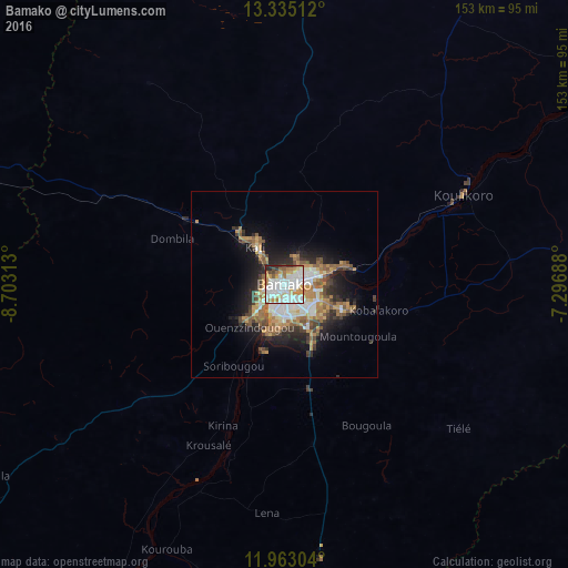
Analysis of Bamako night lights 2016
Square area 10x10 km:
 32.03%
90-99
29.22%80-89
7.36%70-79
11.47%60-69
8.23%50-59
2.6%40-49
3.25%30-39
3.25%20-29
2.6%10-19
0%0-9
0%Square area 50x50 km:
2.82%90-99
2.77%80-89
1.05%70-79
2.95%60-69
2.73%50-59
2.8%40-49
1.85%30-39
2.29%20-29
3.64%10-19
7.46%0-9
69.63%Clear (daylight) street map image can be seen on geolist.org.
Map coordinates:
13° 20' 6.4" North, 8° 42' 11.3" West
12° 39' 0" North, 8° 0' 0" West
11° 57' 46.9" North, 7° 17' 48.8" West
Some cities around Bamako sort by population:
• Kolokani
102.7 km =63.8 mi,  357°
357°
• Siguiri, GN
186.5 km =115.9 mi,  222°
222°
• Kati
13.1 km =8.1 mi,  323°
323°
• Bougouni
148.1 km =92 mi,  157°
157°
• Banamba
116.3 km =72.3 mi,  30°
30°
• Koulikoro
53.3 km =33.1 mi,  63°
63°
• Kangaba
91.6 km =56.9 mi,  209°
209°
• Kita
167 km =103.8 mi,  284°
284°
2460596 (p: 1,297,281)
Sources (retrieved 2019-11-25):
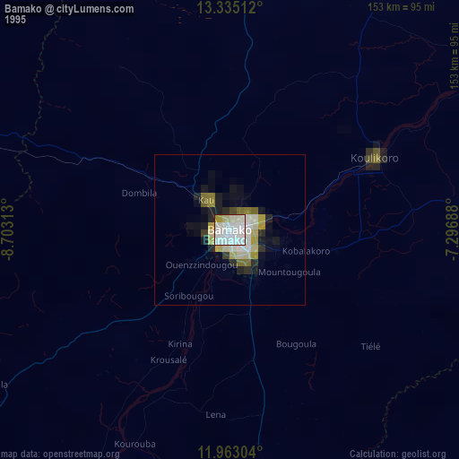
» NASA, Earths city lights 1995
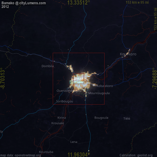
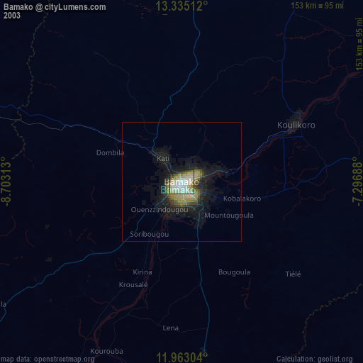
» NASA city lights 2003
» Earth at Night: Flat Maps 2012, 2016