Kati night lights from space
Night Light of Kati (Koulikoro) from space (Mali) Src. Average luminocity for 10x10km area is 27.3247% and for 50x50km: 15.0246%.
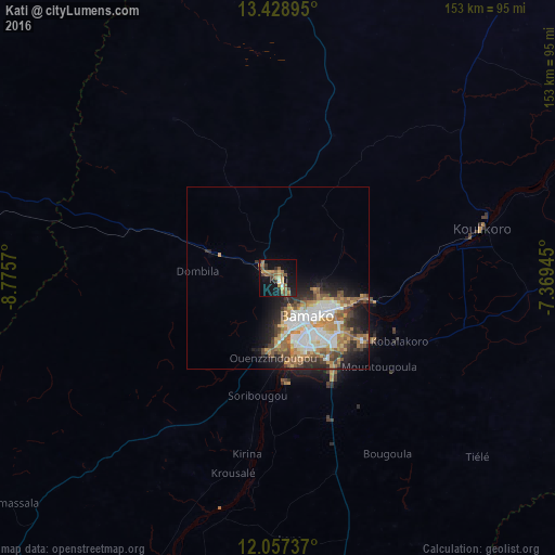
Analysis of Kati night lights 2016
Square area 10x10 km:
 0.43%
0.43%90-99
1.3%80-89
0.87%70-79
9.52%60-69
5.41%50-59
9.31%40-49
1.95%30-39
4.98%20-29
4.11%10-19
28.35%0-9
33.77%Square area 50x50 km:
2.82%90-99
2.77%80-89
1.05%70-79
2.78%60-69
2.61%50-59
2.62%40-49
1.71%30-39
1.89%20-29
3.33%10-19
5.93%0-9
72.49%Clear (daylight) street map image can be seen on geolist.org.
Map coordinates:
13° 25' 44.2" North, 8° 46' 32.5" West
12° 44' 38.7" North, 8° 4' 21.3" West
12° 3' 26.5" North, 7° 22' 10" West
Some cities around Kati sort by population:
• Bamako
13.1 km =8.1 mi,  143°
143°
• Kolokani
92.2 km =57.3 mi,  2°
2°
• Siguiri, GN
189.2 km =117.6 mi,  219°
219°
• Bougouni
160.8 km =99.9 mi,  156°
156°
• Banamba
112.1 km =69.7 mi,  37°
37°
• Koulikoro
57.1 km =35.5 mi,  76°
76°
• Kangaba
97.6 km =60.6 mi,  202°
202°
• Kita
156.9 km =97.5 mi,  281°
281°
2455558 (p: 42,922)
Sources (retrieved 2019-11-25):
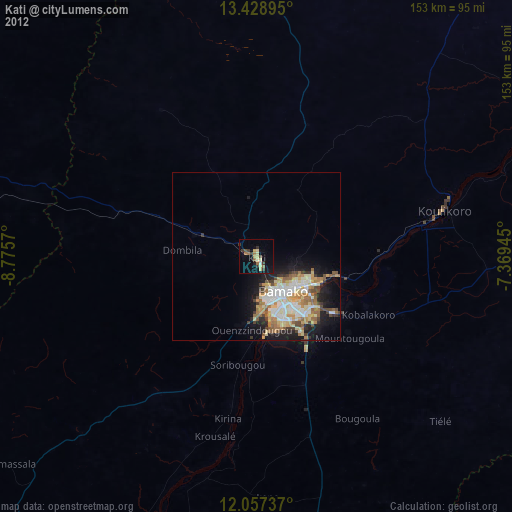
» Earth at Night: Flat Maps 2012, 2016