Bougouni night lights from space
Night Light of Bougouni (Sikasso) from space (Mali) Src. Average luminocity for 10x10km area is 8.6537% and for 50x50km: 0.3496%.
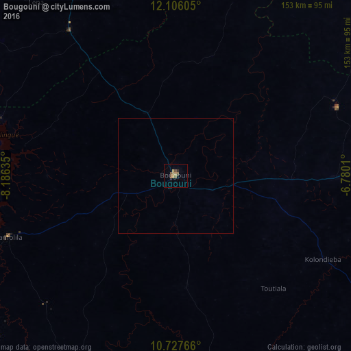
Analysis of Bougouni night lights 2016
Square area 10x10 km:
 0%
0%90-99
0%80-89
1.52%70-79
1.95%60-69
1.73%50-59
4.33%40-49
0.87%30-39
1.3%20-29
1.3%10-19
0%0-9
87.01%Square area 50x50 km:
0%90-99
0%80-89
0.06%70-79
0.08%60-69
0.07%50-59
0.17%40-49
0.03%30-39
0.05%20-29
0.05%10-19
0%0-9
99.49%Clear (daylight) street map image can be seen on geolist.org.
Map coordinates:
12° 6' 21.8" North, 8° 11' 10.9" West
11° 25' 3.7" North, 7° 28' 59.6" West
10° 43' 39.6" North, 6° 46' 48.4" West
Some cities around Bougouni sort by population:
• Bamako
148.1 km =92 mi,  337°
337°
• Siguiri, GN
183.7 km =114.1 mi,  270°
270°
• Kati
160.8 km =99.9 mi, 336°
• Tengréla, CI
157 km =97.6 mi,  131°
131°
• Koulikoro
160.9 km =100 mi,  357°
357°
• Kangaba
116.7 km =72.5 mi,  299°
299°
• Mandiana, GN
158.8 km =98.7 mi,  236°
236°
• Kolondiéba
74 km =46 mi,  119°
119°
2459775 (p: 35,450)
Sources (retrieved 2019-11-25):
» Earth at Night: Flat Maps 2012, 2016