Mandiana night lights from space
Night Light of Mandiana (Kankan) from space (Guinea) Src. Average luminocity for 10x10km area is 0% and for 50x50km: 0.002%.
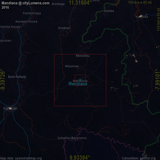
Analysis of Mandiana night lights 2016
Square area 10x10 km:
 0%
0%90-99
0%80-89
0%70-79
0%60-69
0%50-59
0%40-49
0%30-39
0%20-29
0%10-19
0%0-9
100%Square area 50x50 km:
0%90-99
0%80-89
0%70-79
0%60-69
0%50-59
0%40-49
0%30-39
0%20-29
0%10-19
0%0-9
100%Clear (daylight) street map image can be seen on geolist.org.
Map coordinates:
11° 18' 57.7" North, 9° 23' 50.1" West
10° 37' 32.8" North, 8° 41' 38.9" West
9° 56' 2.2" North, 7° 59' 27.6" West
Some cities around Mandiana sort by population:
• Kankan
72 km =44.7 mi,  248°
248°
• Odienné, CI
175.6 km =109.1 mi,  135°
135°
• Siguiri
102.6 km =63.8 mi,  329°
329°
• Bougouni, ML
158.8 km =98.7 mi,  56°
56°
• Kangaba, ML
148.5 km =92.3 mi,  11°
11°
• Kouroussa
130 km =80.8 mi,  271°
271°
• Kérouané
155.2 km =96.4 mi,  193°
193°
• Tokonou
161.2 km =100.2 mi,  227°
227°
2417795 (p: 10,609)
Sources (retrieved 2019-11-25):
» Earth at Night: Flat Maps 2012, 2016