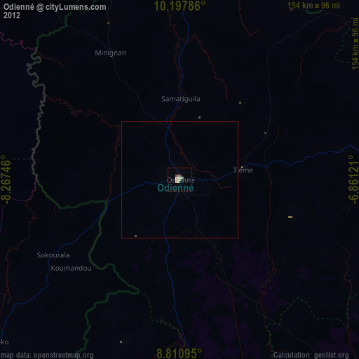
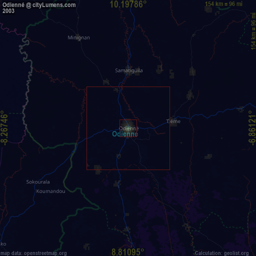
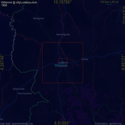
Odienné night lights from space
Night Light of Odienné (Denguélé) from space (Ivory Coast) Src. Average luminocity for 10x10km area is 22.1039% and for 50x50km: 1.1064%.
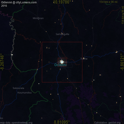
Analysis of Odienné night lights 2016
Square area 10x10 km:
 5.19%
5.19%90-99
7.79%80-89
0.87%70-79
0.22%60-69
2.6%50-59
0.65%40-49
0.87%30-39
0%20-29
2.6%10-19
13.42%0-9
65.8%Square area 50x50 km:
0.2%90-99
0.31%80-89
0.03%70-79
0.04%60-69
0.1%50-59
0.04%40-49
0.15%30-39
0.07%20-29
0.22%10-19
0.53%0-9
98.3%Clear (daylight) street map image can be seen on geolist.org.
Map coordinates:
10° 11' 52.3" North, 8° 16' 2.9" West
9° 30' 18.4" North, 7° 33' 51.6" West
8° 48' 39.4" North, 6° 51' 40.4" West
Some cities around Odienné sort by population:
• Tengréla
166.9 km =103.7 mi,  49°
49°
• Boundiali
118.2 km =73.4 mi,  89°
89°
• Touba
136.5 km =84.8 mi,  185°
185°
• Biankouma
196.4 km =122 mi,  181°
181°
• Beyla, GN
149.6 km =93 mi,  232°
232°
• Mandiana, GN
175.6 km =109.1 mi,  315°
315°
• Kolondiéba, ML
190.9 km =118.6 mi,  22°
22°
• Kérouané, GN
161.5 km =100.4 mi,  260°
260°
2283016 (p: 49,857)
Sources (retrieved 2019-11-25):
» NASA, Earths city lights 1995
» NASA city lights 2003
» Earth at Night: Flat Maps 2012, 2016