Boundiali night lights from space
Night Light of Boundiali (Savanes) from space (Ivory Coast) Src. Average luminocity for 10x10km area is 10.0714% and for 50x50km: 0.4471%.
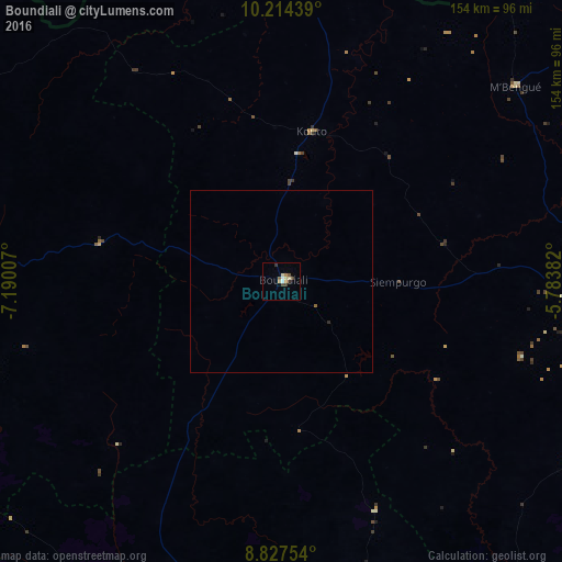
Analysis of Boundiali night lights 2016
Square area 10x10 km:
 1.08%
1.08%90-99
1.52%80-89
1.73%70-79
1.08%60-69
1.52%50-59
1.52%40-49
2.16%30-39
2.38%20-29
0%10-19
0%0-9
87.01%Square area 50x50 km:
0.04%90-99
0.06%80-89
0.07%70-79
0.04%60-69
0.06%50-59
0.09%40-49
0.08%30-39
0.09%20-29
0.03%10-19
0%0-9
99.42%Clear (daylight) street map image can be seen on geolist.org.
Map coordinates:
10° 12' 51.8" North, 7° 11' 24.3" West
9° 31' 18" North, 6° 29' 13" West
8° 49' 39.1" North, 5° 47' 1.8" West
Some cities around Boundiali sort by population:
• Korhogo
94.3 km =58.6 mi,  94°
94°
• Ferkessédougou
141.9 km =88.2 mi, 86°
• Séguéla
174.7 km =108.6 mi,  186°
186°
• Odienné
118.2 km =73.4 mi,  269°
269°
• Tengréla
107 km =66.5 mi,  4°
4°
• Touba
190.3 km =118.2 mi,  223°
223°
• Mankono
165.9 km =103.1 mi,  168°
168°
• Kolondiéba, ML
179.9 km =111.8 mi,  345°
345°
2290836 (p: 38,878)
Sources (retrieved 2019-11-25):
» Earth at Night: Flat Maps 2012, 2016