Titao night lights from space
Night Light of Titao (Nord) from space (Burkina Faso) Src. Average luminocity for 10x10km area is 0% and for 50x50km: 0.0933%.
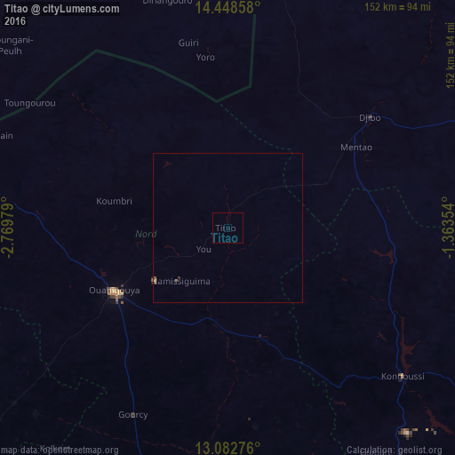
Analysis of Titao night lights 2016
Square area 10x10 km:
100  0%
0%
90-99 0%
80-89 0%
70-79 0%
60-69 0%
50-59 0%
40-49 0%
30-39 0%
20-29 0%
10-19 0%
0-9 100%
0%90-99
0%80-89
0%70-79
0%60-69
0%50-59
0%40-49
0%30-39
0%20-29
0%10-19
0%0-9
100%Square area 50x50 km:
100 0%
90-99 0%
80-89 0%
70-79 0.03%
60-69 0%
50-59 0.03%
40-49 0.03%
30-39 0.06%
20-29 0.02%
10-19 0.02%
0-9 99.8%
0%90-99
0%80-89
0%70-79
0.03%60-69
0%50-59
0.03%40-49
0.03%30-39
0.06%20-29
0.02%10-19
0.02%0-9
99.8%Clear (daylight) street map image can be seen on geolist.org.
Map coordinates:
14° 26' 54.9" North, 2° 46' 11.2" West
13° 46' 0" North, 2° 4' 0" West
13° 4' 57.9" North, 1° 21' 48.7" West
Some cities around Titao sort by population:
• Ouahigouya
43.5 km =27 mi,  241°
241°
• Kaya
130.1 km =80.8 mi,  125°
125°
• Kongoussi
75.6 km =47 mi, 130°
• Yako
92.2 km =57.3 mi,  193°
193°
• Djibo
60.3 km =37.5 mi,  52°
52°
• Tougan
133.1 km =82.7 mi,  234°
234°
• Gourcy
69.7 km =43.3 mi,  206°
206°
• Boussé
124.3 km =77.2 mi,  171°
171°
2354349 (p: 19,131)
Sources (retrieved 2019-11-25):
» Earth at Night: Flat Maps 2012, 2016