Ouahigouya night lights from space
Night Light of Ouahigouya (Nord) from space (Burkina Faso) Src. Average luminocity for 10x10km area is 14.4401% and for 50x50km: 0.7259%.
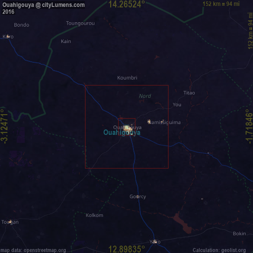
Analysis of Ouahigouya night lights 2016
Square area 10x10 km:
 0%
0%90-99
0%80-89
2.27%70-79
5.37%60-69
2.27%50-59
2.48%40-49
3.31%30-39
4.13%20-29
0.83%10-19
1.03%0-9
78.31%Square area 50x50 km:
0%90-99
0%80-89
0.09%70-79
0.25%60-69
0.09%50-59
0.13%40-49
0.17%30-39
0.24%20-29
0.06%10-19
0.07%0-9
98.9%Clear (daylight) street map image can be seen on geolist.org.
Map coordinates:
14° 15' 54.9" North, 3° 7' 29" West
13° 34' 58" North, 2° 25' 17.7" West
12° 53' 54.1" North, 1° 43' 6.5" West
Some cities around Ouahigouya sort by population:
• Kongoussi
100.1 km =62.2 mi,  106°
106°
• Yako
71.5 km =44.4 mi,  165°
165°
• Djibo
103.4 km =64.2 mi,  56°
56°
• Titao
43.5 km =27 mi, 61°
• Tougan
90.2 km =56 mi,  231°
231°
• Gourcy
42.2 km =26.2 mi, 170°
• Boussé
117.3 km =72.9 mi,  150°
150°
• Toma
105.2 km =65.4 mi,  209°
209°
2357043 (p: 61,096)
Sources (retrieved 2019-11-25):
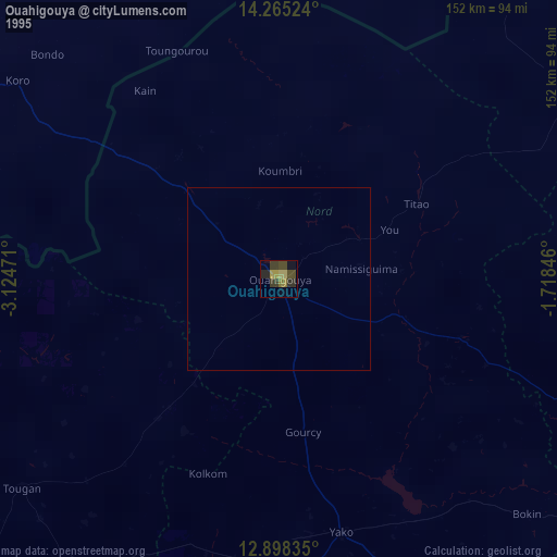
» NASA, Earths city lights 1995
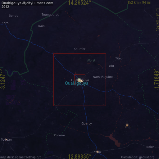
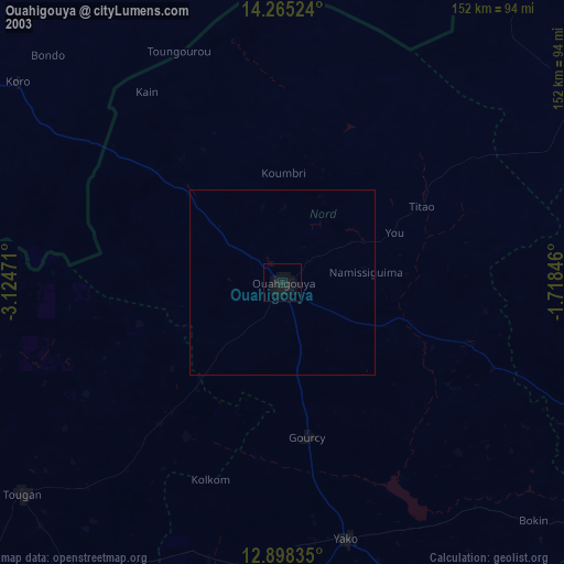
» NASA city lights 2003
» Earth at Night: Flat Maps 2012, 2016