Khenifra night lights from space
Night Light of Khenifra (Béni Mellal-Khénifra) from space (Morocco) Src. Average luminocity for 10x10km area is 21.5092% and for 50x50km: 1.4776%.
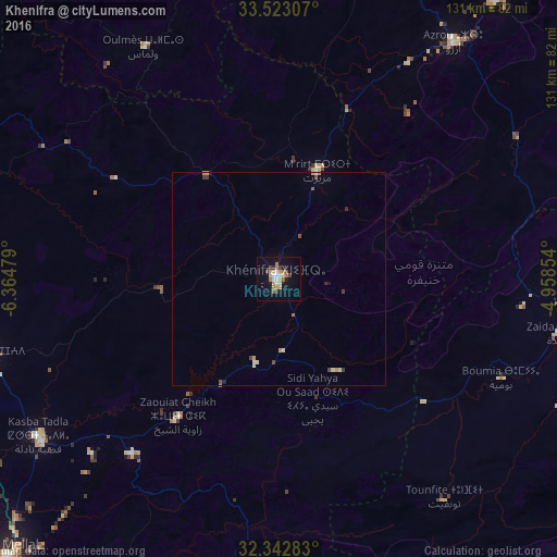
Analysis of Khenifra night lights 2016
Square area 10x10 km:
 2.38%
2.38%90-99
2.75%80-89
2.93%70-79
4.03%60-69
4.76%50-59
1.47%40-49
2.75%30-39
2.01%20-29
0.73%10-19
14.1%0-9
62.09%Square area 50x50 km:
0.12%90-99
0.15%80-89
0.24%70-79
0.28%60-69
0.24%50-59
0.1%40-49
0.29%30-39
0.2%20-29
0.07%10-19
0.64%0-9
97.66%Clear (daylight) street map image can be seen on geolist.org.
Map coordinates:
33° 31' 23.1" North, 6° 21' 53.2" West
32° 56' 5.7" North, 5° 39' 42" West
32° 20' 34.2" North, 4° 57' 30.7" West
Some cities around Khenifra sort by population:
• Oued Zem
85.5 km =53.1 mi,  264°
264°
• Ifrane
83.4 km =51.8 mi,  37°
37°
• Azrou
69 km =42.9 mi, 36°
• Midelt
90 km =55.9 mi,  107°
107°
• Kasba Tadla
68 km =42.3 mi,  236°
236°
• El Hajeb
88 km =54.7 mi,  17°
17°
• Oulmes
63.1 km =39.2 mi,  329°
329°
• Aïn Leuh
49.6 km =30.8 mi, 37°
2544333 (p: 73,906)
Sources (retrieved 2019-11-25):
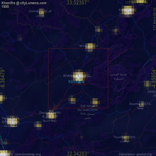
» NASA, Earths city lights 1995
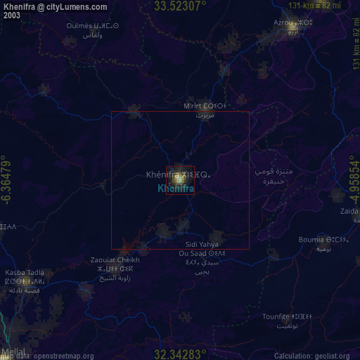
» NASA city lights 2003
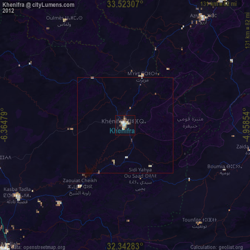
» Earth at Night: Flat Maps 2012, 2016