Midelt night lights from space
Night Light of Midelt (Béni Mellal-Khénifra) from space (Morocco) Src. Average luminocity for 10x10km area is 27.5227% and for 50x50km: 1.567%.
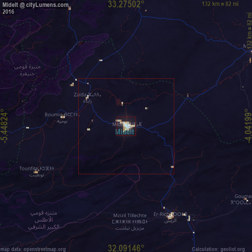
Analysis of Midelt night lights 2016
Square area 10x10 km:
 4.37%
4.37%90-99
4.02%80-89
6.99%70-79
3.32%60-69
3.67%50-59
1.05%40-49
0%30-39
1.92%20-29
1.22%10-19
35.66%0-9
37.76%Square area 50x50 km:
0.18%90-99
0.18%80-89
0.44%70-79
0.2%60-69
0.2%50-59
0.08%40-49
0.06%30-39
0.11%20-29
0.08%10-19
1.48%0-9
97.01%Clear (daylight) street map image can be seen on geolist.org.
Map coordinates:
33° 16' 30.1" North, 5° 26' 53.7" West
32° 41' 6.7" North, 4° 44' 42.4" West
32° 5' 29.3" North, 4° 2' 31.2" West
Some cities around Midelt sort by population:
• Errachidia
89 km =55.3 mi,  160°
160°
• Khenifra
90 km =55.9 mi,  287°
287°
• Ifrane
99.5 km =61.8 mi,  340°
340°
• Sefrou
127.7 km =79.3 mi,  356°
356°
• Azrou
94.4 km =58.7 mi,  331°
331°
• Kasba Tadla
143 km =88.9 mi,  266°
266°
• El Hajeb
125.8 km =78.2 mi, 332°
• Aïn Leuh
87.1 km =54.1 mi,  320°
320°
2542227 (p: 45,159)
Sources (retrieved 2019-11-25):
» Earth at Night: Flat Maps 2012, 2016