Oulmes night lights from space
Night Light of Oulmes (Rabat-Salé-Kénitra) from space (Morocco) Src. Average luminocity for 10x10km area is 3.5437% and for 50x50km: 0.2838%.
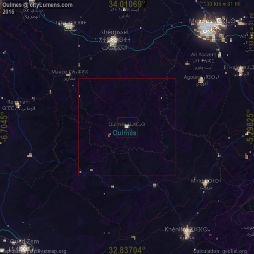
Analysis of Oulmes night lights 2016
Square area 10x10 km:
 0.52%
0.52%90-99
0.17%80-89
1.4%70-79
0%60-69
1.4%50-59
0%40-49
0%30-39
0.7%20-29
0%10-19
0%0-9
95.8%Square area 50x50 km:
0.02%90-99
0.01%80-89
0.06%70-79
0%60-69
0.15%50-59
0.05%40-49
0.06%30-39
0.06%20-29
0.03%10-19
0%0-9
99.57%Clear (daylight) street map image can be seen on geolist.org.
Map coordinates:
34° 0' 38.5" North, 6° 42' 16.2" West
33° 25' 33.1" North, 6° 0' 4.9" West
32° 50' 13.3" North, 5° 17' 53.7" West
Some cities around Oulmes sort by population:
• Meknès
66.9 km =41.6 mi,  38°
38°
• Khemisset
44.7 km =27.8 mi,  352°
352°
• Oued Zem
82.2 km =51.1 mi,  220°
220°
• Khenifra
63.1 km =39.2 mi,  149°
149°
• Tiflet
59.3 km =36.8 mi,  331°
331°
• Azrou
72.4 km =45 mi,  89°
89°
• El Hajeb
65.3 km =40.6 mi,  63°
63°
• Aïn Leuh
63.4 km =39.4 mi,  103°
103°
2538898 (p: 19,014)
Sources (retrieved 2019-11-25):
» Earth at Night: Flat Maps 2012, 2016