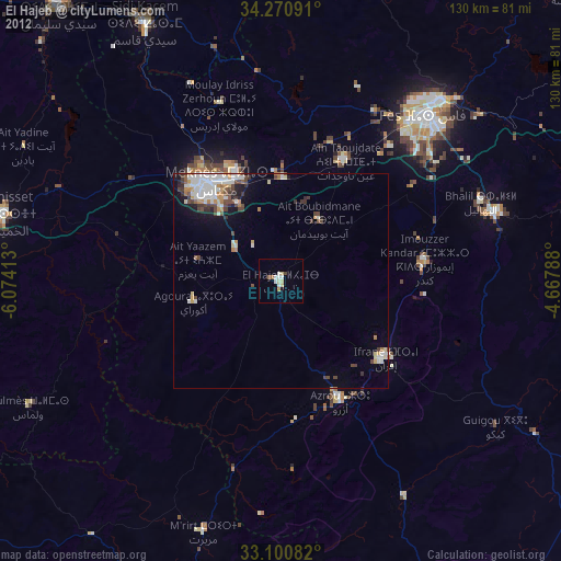
El Hajeb night lights from space
Night Light of El Hajeb (Fès-Meknès) from space (Morocco) Src. Average luminocity for 10x10km area is 11.8022% and for 50x50km: 6.4748%.

Analysis of El Hajeb night lights 2016
Square area 10x10 km:
 0.55%
0.55%90-99
2.56%80-89
0.55%70-79
2.93%60-69
2.93%50-59
1.47%40-49
0.73%30-39
0.73%20-29
0.73%10-19
0.73%0-9
86.08%Square area 50x50 km:
0.96%90-99
1.22%80-89
0.89%70-79
0.78%60-69
1.03%50-59
0.44%40-49
0.88%30-39
0.98%20-29
1.16%10-19
2.61%0-9
89.04%Clear (daylight) street map image can be seen on geolist.org.
Map coordinates:
34° 16' 15.3" North, 6° 4' 26.9" West
33° 41' 16.3" North, 5° 22' 15.6" West
33° 6' 3" North, 4° 40' 4.4" West
Some cities around El Hajeb sort by population:
• Fès
51.4 km =31.9 mi,  41°
41°
• Meknès
28.1 km =17.5 mi,  324°
324°
• Fès al Bali
57.3 km =35.6 mi, 42°
• Ifrane
30.1 km =18.7 mi,  126°
126°
• Sefrou
52.7 km =32.7 mi,  72°
72°
• Azrou
31.4 km =19.5 mi,  153°
153°
• Oulmes
65.3 km =40.6 mi,  243°
243°
• Aïn Leuh
44.4 km =27.6 mi,  176°
176°
2550252 (p: 28,126)
Sources (retrieved 2019-11-25):
» Earth at Night: Flat Maps 2012, 2016