Tūkrah night lights from space
Night Light of Tūkrah (Al Marj) from space (Libya) Src. Average luminocity for 10x10km area is 37.0055% and for 50x50km: 8.4092%.
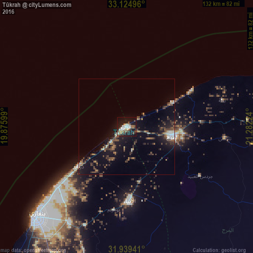
Analysis of Tūkrah night lights 2016
Square area 10x10 km:
 6.59%
6.59%90-99
8.24%80-89
2.2%70-79
3.85%60-69
3.3%50-59
6.23%40-49
6.04%30-39
4.03%20-29
5.31%10-19
41.39%0-9
12.82%Square area 50x50 km:
0.85%90-99
0.89%80-89
0.51%70-79
0.83%60-69
0.8%50-59
1.19%40-49
2.13%30-39
2.01%20-29
2.09%10-19
8.21%0-9
80.49%Clear (daylight) street map image can be seen on geolist.org.
Map coordinates:
33° 7' 29.9" North, 19° 52' 33.6" East
32° 32' 2.9" North, 20° 34' 44.8" East
31° 56' 21.9" North, 21° 16' 56.1" East
Some cities around Tūkrah sort by population:
• Benghazi
66.9 km =41.6 mi,  225°
225°
• Al Marj
23.9 km =14.9 mi,  101°
101°
• Darnah
194.4 km =120.8 mi,  82°
82°
• Al Bayḑā’
113 km =70.2 mi, 77°
• Al Abyār
38.3 km =23.8 mi,  177°
177°
• Al Qubbah
157.6 km =97.9 mi, 80°
• Az Zuwaytīnah
181.2 km =112.6 mi,  193°
193°
• Qaryat Sulūq
101.1 km =62.8 mi,  197°
197°
88834 (p: 23,164)
Sources (retrieved 2019-11-25):
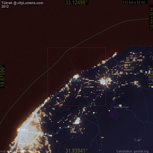
» Earth at Night: Flat Maps 2012, 2016