Al Abyār night lights from space
Night Light of Al Abyār (Al Marj) from space (Libya) Src. Average luminocity for 10x10km area is 35.8304% and for 50x50km: 6.3053%.
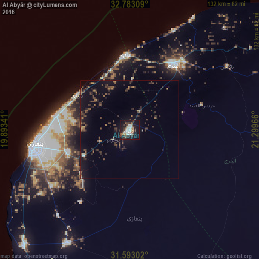
Analysis of Al Abyār night lights 2016
Square area 10x10 km:
 8.22%
8.22%90-99
6.47%80-89
2.62%70-79
1.57%60-69
3.67%50-59
2.62%40-49
7.52%30-39
8.22%20-29
3.67%10-19
42.83%0-9
12.59%Square area 50x50 km:
0.46%90-99
0.43%80-89
0.26%70-79
0.43%60-69
0.65%50-59
0.98%40-49
1.84%30-39
2.06%20-29
1.71%10-19
6.32%0-9
84.84%Clear (daylight) street map image can be seen on geolist.org.
Map coordinates:
32° 46' 59.1" North, 19° 53' 36.3" East
32° 11' 24" North, 20° 35' 47.5" East
31° 35' 34.9" North, 21° 17' 58.8" East
Some cities around Al Abyār sort by population:
• Benghazi
50.4 km =31.3 mi,  260°
260°
• Ajdabiya
163.3 km =101.5 mi,  192°
192°
• Al Marj
40.1 km =24.9 mi,  32°
32°
• Al Bayḑā’
126 km =78.3 mi,  59°
59°
• Al Qubbah
166.6 km =103.5 mi,  67°
67°
• Tūkrah
38.3 km =23.8 mi,  357°
357°
• Az Zuwaytīnah
144.8 km =90 mi,  198°
198°
• Qaryat Sulūq
66.5 km =41.3 mi,  209°
209°
89087 (p: 32,563)
Sources (retrieved 2019-11-25):
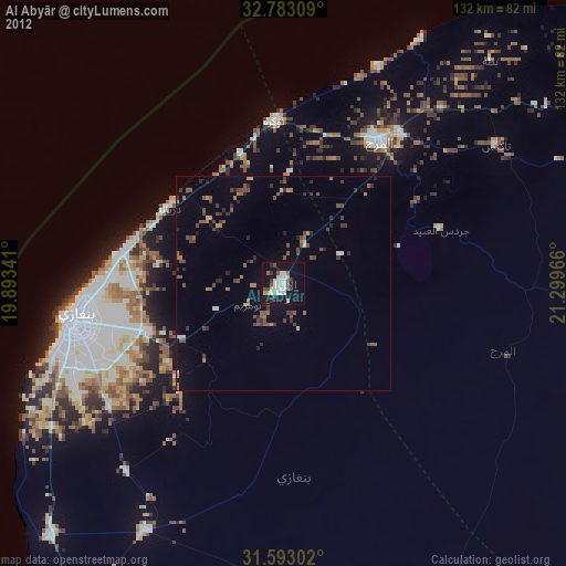
» Earth at Night: Flat Maps 2012, 2016