Al Marj night lights from space
Night Light of Al Marj from space (Libya) Src. Average luminocity for 10x10km area is 57.022% and for 50x50km: 8.9644%.
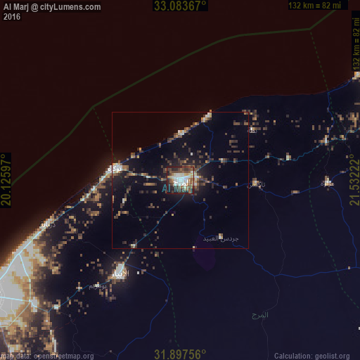
Analysis of Al Marj night lights 2016
Square area 10x10 km:
 12.27%
90-99
14.29%80-89
4.03%70-79
4.21%60-69
5.49%50-59
12.09%40-49
13.55%30-39
9.71%20-29
14.65%10-19
9.71%0-9
0%Square area 50x50 km:
0.87%90-99
1.06%80-89
0.57%70-79
0.81%60-69
0.8%50-59
1.31%40-49
2.33%30-39
2.65%20-29
2.68%10-19
6.23%0-9
80.68%Clear (daylight) street map image can be seen on geolist.org.
Map coordinates:
33° 5' 1.2" North, 20° 7' 33.5" East
32° 29' 33.3" North, 20° 49' 44.7" East
31° 53' 51.2" North, 21° 31' 56" East
Some cities around Al Marj sort by population:
• Benghazi
82.9 km =51.5 mi,  239°
239°
• Darnah
172 km =106.9 mi,  79°
79°
• Al Bayḑā’
91.8 km =57 mi,  70°
70°
• Al Abyār
40.1 km =24.9 mi,  212°
212°
• Al Qubbah
135.4 km =84.1 mi, 77°
• Tūkrah
23.9 km =14.9 mi,  281°
281°
• Az Zuwaytīnah
183.9 km =114.3 mi,  201°
201°
• Qaryat Sulūq
106.6 km =66.2 mi, 210°
88903 (p: 85,315)
Sources (retrieved 2019-11-25):
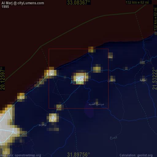
» NASA, Earths city lights 1995
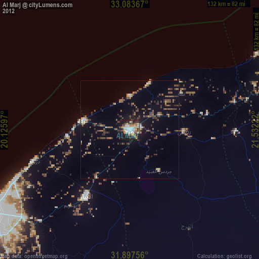
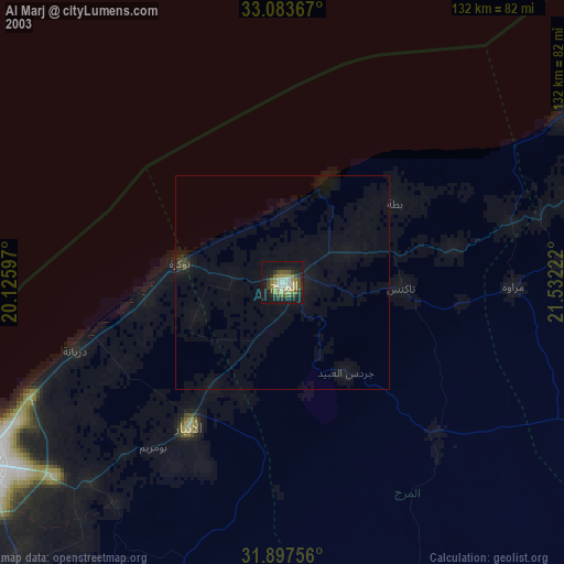
» NASA city lights 2003
» Earth at Night: Flat Maps 2012, 2016