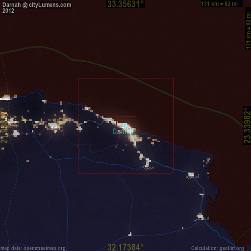
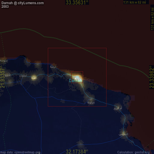
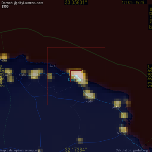
Darnah night lights from space
Night Light of Darnah from space (Libya) Src. Average luminocity for 10x10km area is 36.8741% and for 50x50km: 4.4347%.

Analysis of Darnah night lights 2016
Square area 10x10 km:
 7.87%
7.87%90-99
11.54%80-89
1.22%70-79
2.62%60-69
2.62%50-59
2.1%40-49
4.2%30-39
3.32%20-29
11.36%10-19
39.69%0-9
13.46%Square area 50x50 km:
0.49%90-99
0.74%80-89
0.53%70-79
0.45%60-69
0.7%50-59
0.4%40-49
0.46%30-39
0.51%20-29
0.85%10-19
3.66%0-9
91.21%Clear (daylight) street map image can be seen on geolist.org.
Map coordinates:
33° 21' 22.7" North, 21° 56' 0.9" East
32° 46' 1.3" North, 22° 38' 12.1" East
32° 10' 25.8" North, 23° 20' 23.4" East
Some cities around Darnah sort by population:
• Benghazi
251.7 km =156.4 mi,  253°
253°
• Tobruk
144.8 km =90 mi,  121°
121°
• Al Marj
172 km =106.9 mi,  259°
259°
• Al Bayḑā’
82.4 km =51.2 mi,  269°
269°
• Al Abyār
201.8 km =125.4 mi, 251°
• Al Qubbah
37 km =23 mi, 268°
• Tūkrah
194.4 km =120.8 mi, 262°
• Qaryat Sulūq
255.4 km =158.7 mi,  241°
241°
87205 (p: 78,782)
Sources (retrieved 2019-11-25):
» NASA, Earths city lights 1995
» NASA city lights 2003
» Earth at Night: Flat Maps 2012, 2016