Al Qubbah night lights from space
Night Light of Al Qubbah (Darnah) from space (Libya) Src. Average luminocity for 10x10km area is 32.3304% and for 50x50km: 5.3916%.
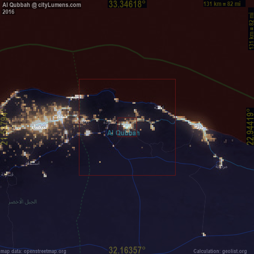
Analysis of Al Qubbah night lights 2016
Square area 10x10 km:
 3.85%
3.85%90-99
5.77%80-89
1.57%70-79
4.02%60-69
5.24%50-59
5.59%40-49
6.99%30-39
4.72%20-29
4.37%10-19
35.49%0-9
22.38%Square area 50x50 km:
0.48%90-99
0.64%80-89
0.35%70-79
0.58%60-69
0.78%50-59
0.84%40-49
1.07%30-39
0.93%20-29
0.77%10-19
4.8%0-9
88.77%Clear (daylight) street map image can be seen on geolist.org.
Map coordinates:
33° 20' 46.2" North, 21° 32' 16.6" East
32° 45' 24.6" North, 22° 14' 27.8" East
32° 9' 48.9" North, 22° 56' 39.1" East
Some cities around Al Qubbah sort by population:
• Benghazi
216 km =134.2 mi,  250°
250°
• Tobruk
177 km =110 mi,  114°
114°
• Al Marj
135.4 km =84.1 mi,  257°
257°
• Darnah
37 km =23 mi,  88°
88°
• Al Bayḑā’
45.4 km =28.2 mi,  270°
270°
• Al Abyār
166.6 km =103.5 mi, 247°
• Tūkrah
157.6 km =97.9 mi, 260°
• Qaryat Sulūq
222.8 km =138.4 mi,  237°
237°
88835 (p: 24,631)
Sources (retrieved 2019-11-25):
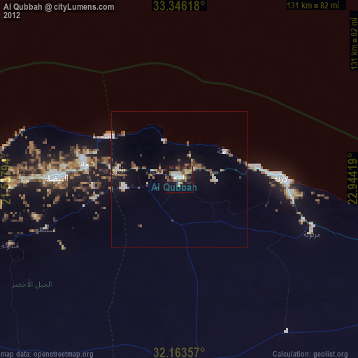
» Earth at Night: Flat Maps 2012, 2016