Benghazi night lights from space
Night Light of Benghazi (Banghāzī) from space (Libya) Src. Average luminocity for 10x10km area is 73.0332% and for 50x50km: 28.0599%.
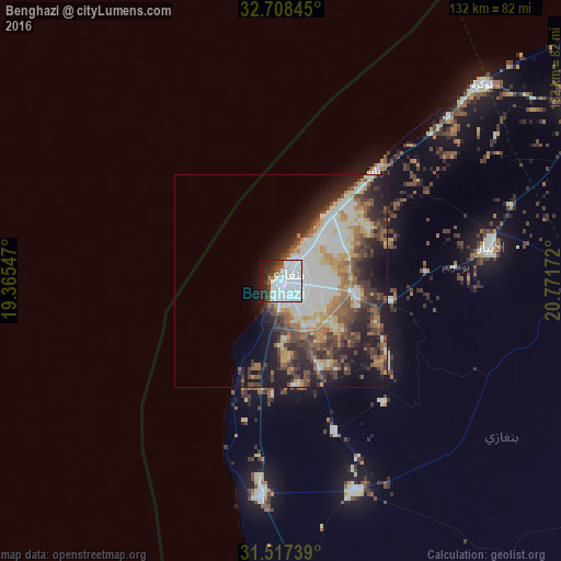
Analysis of Benghazi night lights 2016
Square area 10x10 km:
 46.85%
90-99
14.34%80-89
0.35%70-79
0.35%60-69
2.97%50-59
2.62%40-49
6.29%30-39
4.02%20-29
9.44%10-19
11.01%0-9
1.75%Square area 50x50 km:
6.81%90-99
5.56%80-89
2.77%70-79
2.94%60-69
3.56%50-59
3.76%40-49
4.44%30-39
4.75%20-29
6.64%10-19
9.78%0-9
48.98%Clear (daylight) street map image can be seen on geolist.org.
Map coordinates:
32° 42' 30.4" North, 19° 21' 55.7" East
32° 6' 53.5" North, 20° 4' 6.9" East
31° 31' 2.6" North, 20° 46' 18.2" East
Some cities around Benghazi sort by population:
• Ajdabiya
151.9 km =94.4 mi,  174°
174°
• Al Marj
82.9 km =51.5 mi,  59°
59°
• Al Bayḑā’
173.9 km =108.1 mi,  65°
65°
• Al Abyār
50.4 km =31.3 mi,  80°
80°
• Tūkrah
66.9 km =41.6 mi,  45°
45°
• Az Zuwaytīnah
129.4 km =80.4 mi,  177°
177°
• Qaryat Sulūq
52.6 km =32.7 mi,  160°
160°
• Al Burayqah
195.7 km =121.6 mi,  193°
193°
88319 (p: 650,629)
Sources (retrieved 2019-11-25):
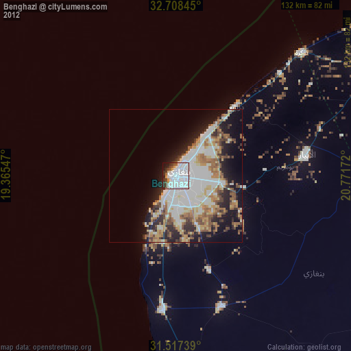
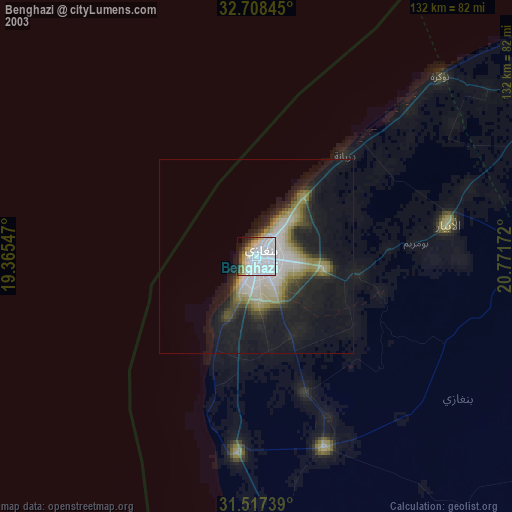
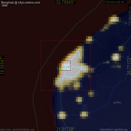
» NASA, Earths city lights 1995
» NASA city lights 2003
» Earth at Night: Flat Maps 2012, 2016