Az Zuwaytīnah night lights from space
Night Light of Az Zuwaytīnah (Al Wāḩāt) from space (Libya) Src. Average luminocity for 10x10km area is 13.022% and for 50x50km: 4.5356%.
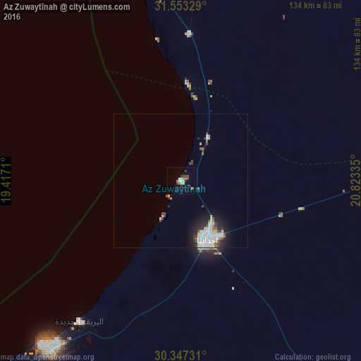
Analysis of Az Zuwaytīnah night lights 2016
Square area 10x10 km:
 1.1%
1.1%90-99
3.3%80-89
0.55%70-79
1.65%60-69
1.1%50-59
1.1%40-49
2.93%30-39
2.38%20-29
2.01%10-19
0%0-9
83.88%Square area 50x50 km:
1.31%90-99
1.05%80-89
0.34%70-79
0.22%60-69
0.11%50-59
0.41%40-49
0.68%30-39
0.52%20-29
1.06%10-19
2.13%0-9
92.18%Clear (daylight) street map image can be seen on geolist.org.
Map coordinates:
31° 33' 11.8" North, 19° 25' 1.6" East
30° 57' 7.9" North, 20° 7' 12.8" East
30° 20' 50.3" North, 20° 49' 24.1" East
Some cities around Az Zuwaytīnah sort by population:
• Benghazi
129.4 km =80.4 mi,  357°
357°
• Ajdabiya
24.1 km =15 mi,  155°
155°
• Al Marj
183.9 km =114.3 mi,  21°
21°
• Al Abyār
144.8 km =90 mi, 18°
• Tūkrah
181.2 km =112.6 mi,  13°
13°
• Qaryat Sulūq
80.6 km =50.1 mi, 8°
• Al Burayqah
80.1 km =49.8 mi,  220°
220°
• Awjilah
233.8 km =145.3 mi,  151°
151°
88380 (p: 21,015)
Sources (retrieved 2019-11-25):
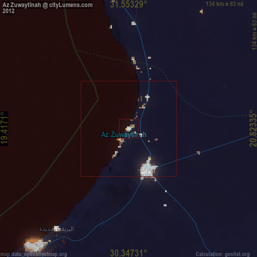
» Earth at Night: Flat Maps 2012, 2016