Tobruk night lights from space
Night Light of Tobruk (Al Buţnān) from space (Libya) Src. Average luminocity for 10x10km area is 70.3881% and for 50x50km: 7.5194%.
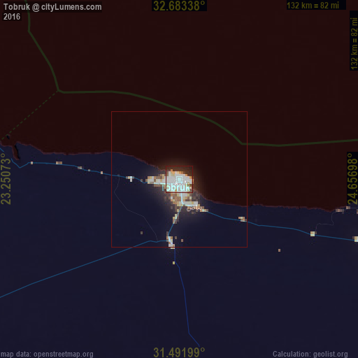
Analysis of Tobruk night lights 2016
Square area 10x10 km:
 24.3%
24.3%90-99
26.75%80-89
7.52%70-79
3.32%60-69
2.8%50-59
3.15%40-49
2.62%30-39
3.32%20-29
15.38%10-19
10.31%0-9
0.52%Square area 50x50 km:
1.35%90-99
1.89%80-89
0.88%70-79
0.51%60-69
0.61%50-59
0.83%40-49
0.77%30-39
1.16%20-29
2.13%10-19
4.23%0-9
85.64%Clear (daylight) street map image can be seen on geolist.org.
Map coordinates:
32° 41' 0.2" North, 23° 15' 2.6" East
32° 5' 22.7" North, 23° 57' 13.9" East
31° 29' 31.2" North, 24° 39' 25.1" East
Some cities around Tobruk sort by population:
• Al Marj
297.1 km =184.6 mi,  278°
278°
• Darnah
144.8 km =90 mi,  301°
301°
• Al Bayḑā’
219.5 km =136.4 mi,  289°
289°
• Mersa Matruh, EG
321.1 km =199.5 mi,  104°
104°
• Al Abyār
316.3 km =196.5 mi,  272°
272°
• Al Qubbah
177 km =110 mi, 294°
• Tūkrah
320.9 km =199.4 mi, 278°
• Al Bardīyah
113.2 km =70.3 mi,  109°
109°
81302 (p: 121,052)
Sources (retrieved 2019-11-25):
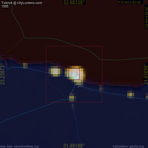
» NASA, Earths city lights 1995
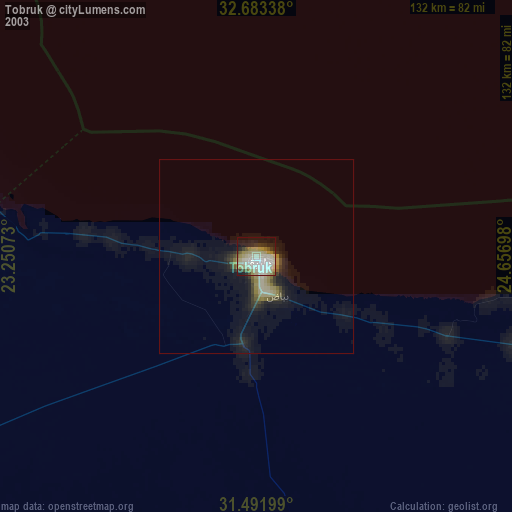
» NASA city lights 2003
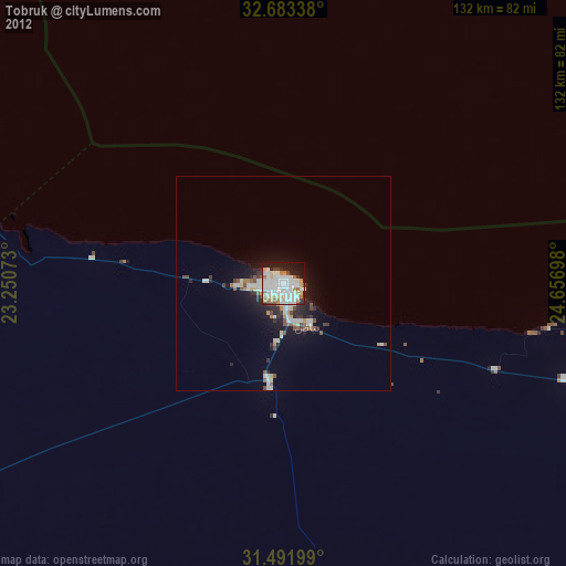
» Earth at Night: Flat Maps 2012, 2016