Al Bardīyah night lights from space
Night Light of Al Bardīyah (Al Buţnān) from space (Libya) Src. Average luminocity for 10x10km area is 9.5623% and for 50x50km: 2.1845%.
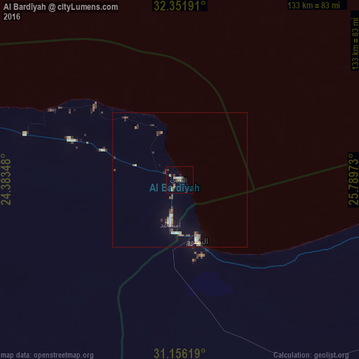
Analysis of Al Bardīyah night lights 2016
Square area 10x10 km:
 1.47%
1.47%90-99
0.73%80-89
0.73%70-79
0.73%60-69
1.47%50-59
2.2%40-49
2.2%30-39
2.56%20-29
0.55%10-19
1.28%0-9
86.08%Square area 50x50 km:
0.23%90-99
0.34%80-89
0.14%70-79
0.17%60-69
0.25%50-59
0.44%40-49
0.37%30-39
0.49%20-29
0.34%10-19
0.73%0-9
96.52%Clear (daylight) street map image can be seen on geolist.org.
Map coordinates:
32° 21' 6.9" North, 24° 23' 0.5" East
31° 45' 21.5" North, 25° 5' 11.8" East
31° 9' 22.3" North, 25° 47' 23" East
Some cities around Al Bardīyah sort by population:
• Tobruk
113.2 km =70.3 mi,  289°
289°
• Darnah
256.3 km =159.3 mi,  296°
296°
• Mersa Matruh, EG
208.6 km =129.6 mi,  102°
102°
• Al Qubbah
289.8 km =180.1 mi, 292°
• Ierápetra, GR
367.1 km =228.1 mi,  9°
9°
• Siwa Oasis, EG
286.9 km =178.3 mi,  171°
171°
• Moíres, GR
367 km =228 mi,  356°
356°
• Tympáki, GR
370 km =229.9 mi, 355°
80509 (p: 9,149)
Sources (retrieved 2019-11-25):
» Earth at Night: Flat Maps 2012, 2016