Mersa Matruh night lights from space
Night Light of Mersa Matruh (Matruh) from space (Egypt) Src. Average luminocity for 10x10km area is 64.6311% and for 50x50km: 7.3771%.
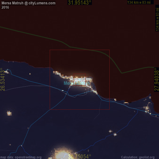
Analysis of Mersa Matruh night lights 2016
Square area 10x10 km:
 17.83%
90-99
24.83%80-89
6.64%70-79
1.92%60-69
1.57%50-59
4.9%40-49
8.39%30-39
8.74%20-29
16.96%10-19
8.22%0-9
0%Square area 50x50 km:
0.94%90-99
1.91%80-89
0.85%70-79
0.51%60-69
0.32%50-59
0.47%40-49
1.57%30-39
1.45%20-29
2.43%10-19
5.19%0-9
84.36%Clear (daylight) street map image can be seen on geolist.org.
Map coordinates:
31° 57' 5.1" North, 26° 32' 2.9" East
31° 21' 10.4" North, 27° 14' 14.1" East
30° 45' 1.9" North, 27° 56' 25.4" East
Some cities around Mersa Matruh sort by population:
• Alexandria
255.1 km =158.5 mi,  93°
93°
• Kafr ad Dawwār
276 km =171.5 mi,  95°
95°
• Idkū
290.7 km =180.6 mi, 90°
• Ḩawsh ‘Īsá
294.6 km =183.1 mi, 99°
• Abū al Maţāmīr
283.8 km =176.3 mi, 99°
• Al Bardīyah, LY
208.6 km =129.6 mi,  282°
282°
• Al ‘Alamayn
173.6 km =107.9 mi,  109°
109°
• Siwa Oasis
290.4 km =180.4 mi,  214°
214°
352733 (p: 62,042)
Sources (retrieved 2019-11-25):
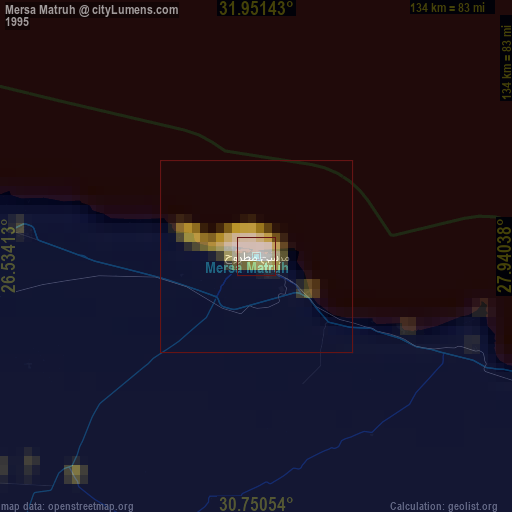
» NASA, Earths city lights 1995
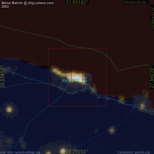
» NASA city lights 2003
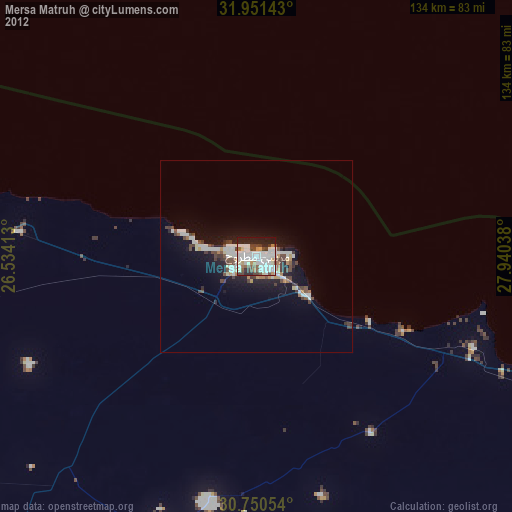
» Earth at Night: Flat Maps 2012, 2016