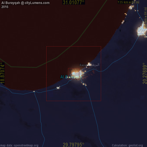
Al Burayqah night lights from space
Night Light of Al Burayqah (Al Wāḩāt) from space (Libya) Src. Average luminocity for 10x10km area is 50.0916% and for 50x50km: 4.4431%.
Analysis of Al Burayqah night lights 2016
Square area 10x10 km:
 10.07%
90-99
12.45%80-89
4.95%70-79
4.95%60-69
5.68%50-59
9.89%40-49
7.69%30-39
8.42%20-29
6.04%10-19
17.22%0-9
12.64%Square area 50x50 km:
0.7%90-99
0.82%80-89
0.33%70-79
0.48%60-69
0.48%50-59
0.56%40-49
0.62%30-39
0.73%20-29
1.05%10-19
3.37%0-9
90.84%Clear (daylight) street map image can be seen on geolist.org.
Map coordinates:
31° 0' 38.8" North, 18° 52' 14.7" East
30° 24' 22.5" North, 19° 34' 25.9" East
29° 47' 52.6" North, 20° 16' 37.2" East
Some cities around Al Burayqah sort by population:
• Benghazi
195.7 km =121.6 mi,  13°
13°
• Ajdabiya
73.5 km =45.7 mi,  58°
58°
• Al Marj
260.7 km =162 mi,  27°
27°
• Al Abyār
220.9 km =137.3 mi, 26°
• Tūkrah
255.1 km =158.5 mi,  21°
21°
• Az Zuwaytīnah
80.1 km =49.8 mi,  40°
40°
• Qaryat Sulūq
154.5 km =96 mi, 24°
• Awjilah
219.5 km =136.4 mi,  131°
131°
2215210 (p: 13,780)
Sources (retrieved 2019-11-25):
» Earth at Night: Flat Maps 2012, 2016