Awjilah night lights from space
Night Light of Awjilah (Al Wāḩāt) from space (Libya) Src. Average luminocity for 10x10km area is 28.4702% and for 50x50km: 4.9604%.
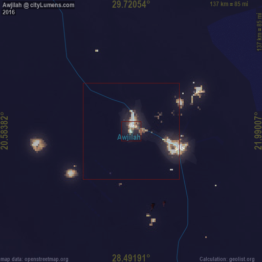
Analysis of Awjilah night lights 2016
Square area 10x10 km:
 4.37%
4.37%90-99
4.56%80-89
2.98%70-79
2.58%60-69
1.59%50-59
5.36%40-49
6.94%30-39
3.17%20-29
6.75%10-19
25.79%0-9
35.91%Square area 50x50 km:
0.78%90-99
0.91%80-89
0.43%70-79
0.4%60-69
0.46%50-59
0.69%40-49
0.65%30-39
0.67%20-29
1.28%10-19
4.18%0-9
89.55%Clear (daylight) street map image can be seen on geolist.org.
Map coordinates:
29° 43' 13.9" North, 20° 35' 1.8" East
29° 6' 29" North, 21° 17' 13" East
28° 29' 30.9" North, 21° 59' 24.3" East
Some cities around Awjilah sort by population:
• Benghazi
354.1 km =220 mi,  340°
340°
• Ajdabiya
209.8 km =130.4 mi,  330°
330°
• Al Marj
378.9 km =235.4 mi,  353°
353°
• Al Abyār
349 km =216.9 mi, 349°
• Tūkrah
386.9 km =240.4 mi, 349°
• Az Zuwaytīnah
233.8 km =145.3 mi, 331°
• Qaryat Sulūq
301.5 km =187.3 mi, 340°
• Al Burayqah
219.5 km =136.4 mi,  311°
311°
88533 (p: 6,610)
Sources (retrieved 2019-11-25):
» Earth at Night: Flat Maps 2012, 2016