Aliwal North night lights from space
Night Light of Aliwal North (Eastern Cape) from space (South Africa) Src. Average luminocity for 10x10km area is 16.2832% and for 50x50km: 0.7323%.
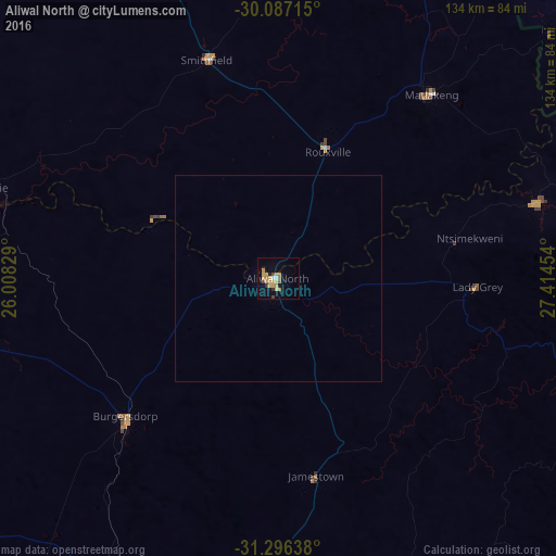
Analysis of Aliwal North night lights 2016
Square area 10x10 km:
 0.35%
0.35%90-99
1.05%80-89
3.67%70-79
6.12%60-69
2.1%50-59
1.4%40-49
2.1%30-39
1.22%20-29
0.7%10-19
3.85%0-9
77.45%Square area 50x50 km:
0.01%90-99
0.04%80-89
0.15%70-79
0.26%60-69
0.09%50-59
0.06%40-49
0.09%30-39
0.05%20-29
0.03%10-19
0.16%0-9
99.05%Clear (daylight) street map image can be seen on geolist.org.
Map coordinates:
30° 5' 13.7" South, 26° 0' 29.8" East
30° 41' 37.2" South, 26° 42' 41.1" East
31° 17' 47" South, 27° 24' 52.3" East
Some cities around Aliwal North sort by population:
• Mafeteng, LS
109.2 km =67.9 mi,  27°
27°
• Mohale’s Hoek, LS
95 km =59 mi,  50°
50°
• Lady Frere
122.7 km =76.2 mi,  156°
156°
• Quthing, LS
100.2 km =62.3 mi,  70°
70°
• Burgersdorp
49.8 km =30.9 mi,  227°
227°
• Zastron
56.3 km =35 mi,  39°
39°
• Molteno
85 km =52.8 mi,  203°
203°
• Dordrecht
82 km =51 mi, 156°
1023309 (p: 44,436)
Sources (retrieved 2019-11-25):
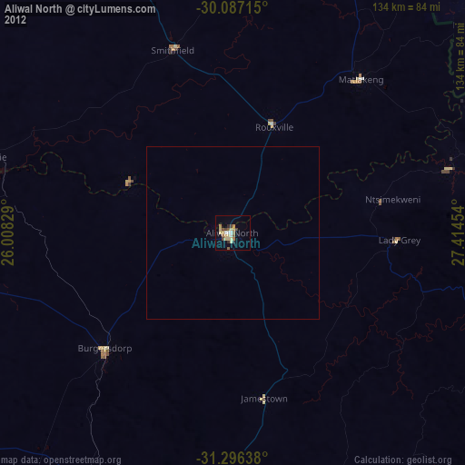
» Earth at Night: Flat Maps 2012, 2016