Mafeteng night lights from space
Night Light of Mafeteng from space (Lesotho) Src. Average luminocity for 10x10km area is 8.7837% and for 50x50km: 0.787%.
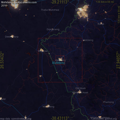
Analysis of Mafeteng night lights 2016
Square area 10x10 km:
 0%
0%90-99
0%80-89
0%70-79
3.97%60-69
1.59%50-59
2.38%40-49
2.58%30-39
1.79%20-29
0.4%10-19
1.59%0-9
85.71%Square area 50x50 km:
0%90-99
0%80-89
0.1%70-79
0.29%60-69
0.14%50-59
0.17%40-49
0.23%30-39
0.1%20-29
0.08%10-19
0.09%0-9
98.79%Clear (daylight) street map image can be seen on geolist.org.
Map coordinates:
29° 12' 40.1" South, 26° 32' 3.6" East
29° 49' 22.8" South, 27° 14' 14.8" East
30° 25' 52.1" South, 27° 56' 26.1" East
Some cities around Mafeteng sort by population:
• Botshabelo, ZA
79.1 km =49.2 mi,  321°
321°
• Maseru
61.1 km =38 mi,  22°
22°
• Thaba Nchu, ZA
78.4 km =48.7 mi,  330°
330°
• Mohale’s Hoek
43.2 km =26.8 mi,  147°
147°
• Quthing
78.1 km =48.5 mi, 145°
• Ladybrand, ZA
73.1 km =45.4 mi, 16°
• Nako
56 km =34.8 mi,  65°
65°
• Zastron, ZA
55.3 km =34.4 mi,  195°
195°
932614 (p: 57,059)
Sources (retrieved 2019-11-25):
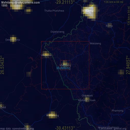
» NASA, Earths city lights 1995
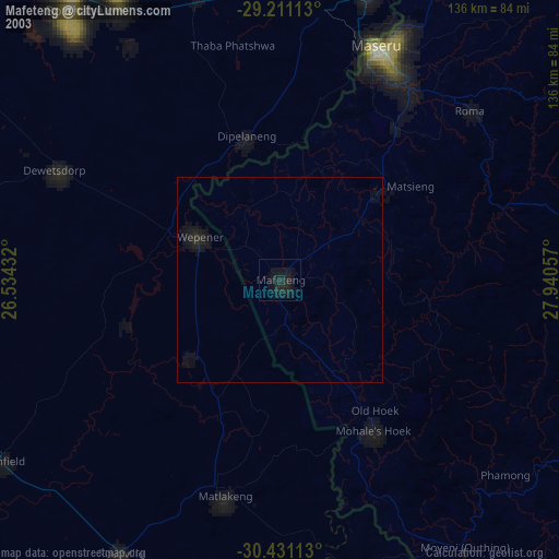
» NASA city lights 2003
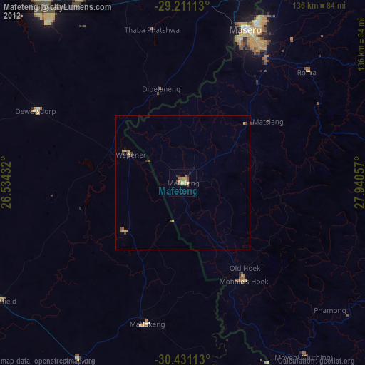
» Earth at Night: Flat Maps 2012, 2016