Nako night lights from space
Night Light of Nako (Maseru) from space (Lesotho) Src. Average luminocity for 10x10km area is 0% and for 50x50km: 0.3443%.
Analysis of Nako night lights 2016
Square area 10x10 km:
 0%
0%90-99
0%80-89
0%70-79
0%60-69
0%50-59
0%40-49
0%30-39
0%20-29
0%10-19
0%0-9
100%Square area 50x50 km:
0%90-99
0%80-89
0%70-79
0.02%60-69
0.04%50-59
0.07%40-49
0.15%30-39
0.17%20-29
0.12%10-19
0.38%0-9
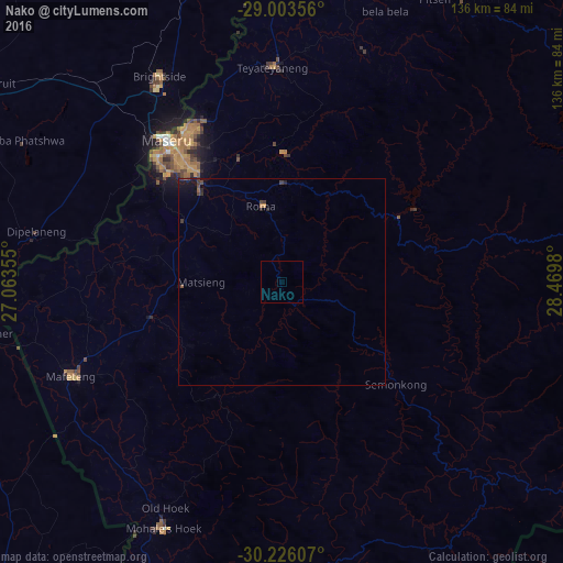
99.05%Clear (daylight) street map image can be seen on geolist.org.
Map coordinates:
29° 0' 12.8" South, 27° 3' 48.8" East
29° 37' 0" South, 27° 46' 0" East
30° 13' 33.9" South, 28° 28' 11.3" East
Some cities around Nako sort by population:
• Maseru
43.2 km =26.8 mi,  320°
320°
• Mafeteng
56 km =34.8 mi,  245°
245°
• Maputsoe
82.2 km =51.1 mi,  8°
8°
• Mohale’s Hoek
65.7 km =40.8 mi,  205°
205°
• Ladybrand, ZA
55.7 km =34.6 mi,  327°
327°
• Clocolan, ZA
80.6 km =50.1 mi,  345°
345°
• Thaba-Tseka
82.1 km =51 mi,  82°
82°
• Teyateyaneng
52.2 km =32.4 mi,  358°
358°
932320 (p: 13,146)
Sources (retrieved 2019-11-25):
» Earth at Night: Flat Maps 2012, 2016