Mohale’s Hoek night lights from space
Night Light of Mohale’s Hoek (Mohaleʼs Hoek) from space (Lesotho) Src. Average luminocity for 10x10km area is 6.6727% and for 50x50km: 0.3066%.

Analysis of Mohale’s Hoek night lights 2016
Square area 10x10 km:
 0%
0%90-99
0.73%80-89
0.18%70-79
1.64%60-69
1.45%50-59
2.55%40-49
0%30-39
2.73%20-29
1.09%10-19
0.55%0-9
89.09%Square area 50x50 km:
0%90-99
0.03%80-89
0.01%70-79
0.07%60-69
0.06%50-59
0.1%40-49
0.03%30-39
0.11%20-29
0.07%10-19
0.02%0-9
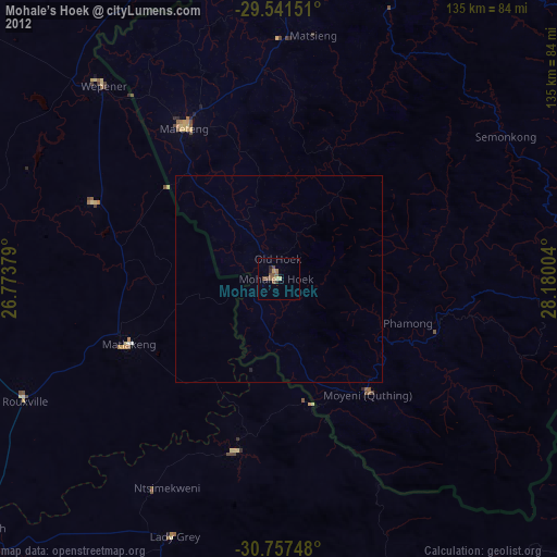
99.5%Clear (daylight) street map image can be seen on geolist.org.
Map coordinates:
29° 32' 29.4" South, 26° 46' 25.6" East
30° 9' 4.9" South, 27° 28' 36.9" East
30° 45' 26.9" South, 28° 10' 48.1" East
Some cities around Mohale’s Hoek sort by population:
• Maseru
92.8 km =57.7 mi,  0°
0°
• Mafeteng
43.2 km =26.8 mi,  327°
327°
• Aliwal North, ZA
95 km =59 mi,  230°
230°
• Quthing
35 km =21.7 mi,  142°
142°
• Ladybrand, ZA
106.4 km =66.1 mi,  358°
358°
• Nako
65.7 km =40.8 mi,  25°
25°
• Zastron, ZA
41.3 km =25.7 mi,  246°
246°
• Teyateyaneng
114.7 km =71.3 mi,  13°
13°
932438 (p: 28,310)
Sources (retrieved 2019-11-25):
» Earth at Night: Flat Maps 2012, 2016