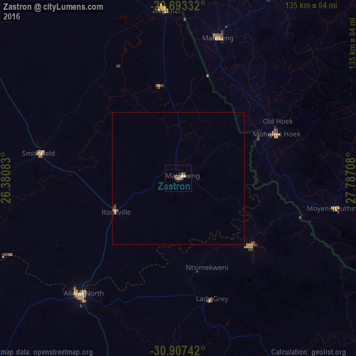
Zastron night lights from space
Night Light of Zastron (Orange Free State) from space (South Africa) Src. Average luminocity for 10x10km area is 6.4176% and for 50x50km: 0.4099%.
Analysis of Zastron night lights 2016
Square area 10x10 km:
 1.1%
1.1%90-99
0.37%80-89
0%70-79
1.28%60-69
1.65%50-59
0.73%40-49
1.47%30-39
1.47%20-29
1.47%10-19
0.73%0-9
89.74%Square area 50x50 km:
0.07%90-99
0.02%80-89
0.01%70-79
0.07%60-69
0.13%50-59
0.03%40-49
0.12%30-39
0.09%20-29
0.06%10-19
0.03%0-9
99.38%Clear (daylight) street map image can be seen on geolist.org.
Map coordinates:
29° 41' 36" South, 26° 22' 51" East
30° 18' 8.1" South, 27° 5' 2.2" East
30° 54' 26.7" South, 27° 47' 13.5" East
Some cities around Zastron sort by population:
• Maseru, LS
116.2 km =72.2 mi,  19°
19°
• Mafeteng, LS
55.3 km =34.4 mi, 15°
• Aliwal North
56.3 km =35 mi,  219°
219°
• Mohale’s Hoek, LS
41.3 km =25.7 mi,  66°
66°
• Quthing, LS
60.1 km =37.3 mi,  100°
100°
• Nako, LS
100.7 km =62.6 mi,  40°
40°
• Burgersdorp
105.8 km =65.7 mi, 223°
• Dordrecht
119 km =73.9 mi,  181°
181°
937246 (p: 12,449)
Sources (retrieved 2019-11-25):
» Earth at Night: Flat Maps 2012, 2016