Maseru night lights from space
Night Light of Maseru from space (Lesotho) Src. Average luminocity for 10x10km area is 51.3807% and for 50x50km: 4.963%.
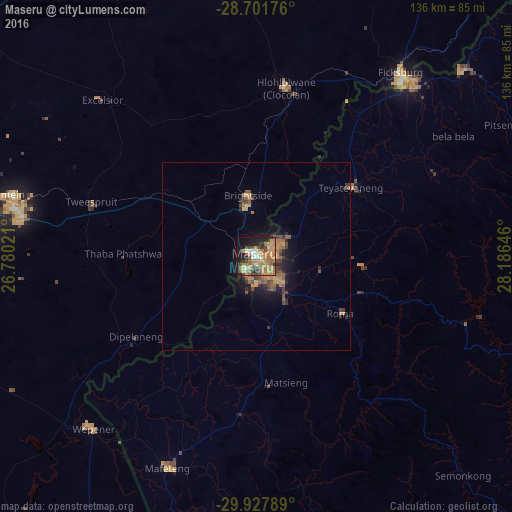
Analysis of Maseru night lights 2016
Square area 10x10 km:
 4.36%
4.36%90-99
3.98%80-89
2.84%70-79
20.45%60-69
18.75%50-59
6.44%40-49
7.2%30-39
4.17%20-29
8.52%10-19
19.32%0-9
3.98%Square area 50x50 km:
0.17%90-99
0.16%80-89
0.22%70-79
1.51%60-69
1.45%50-59
0.9%40-49
1.01%30-39
0.77%20-29
1.04%10-19
3.36%0-9
89.4%Clear (daylight) street map image can be seen on geolist.org.
Map coordinates:
28° 42' 6.3" South, 26° 46' 48.8" East
29° 19' 0" South, 27° 28' 60" East
29° 55' 40.4" South, 28° 11' 11.3" East
Some cities around Maseru sort by population:
• Mafeteng
61.1 km =38 mi,  202°
202°
• Thaba Nchu, ZA
63.6 km =39.5 mi,  280°
280°
• Maputsoe
62.6 km =38.9 mi,  40°
40°
• Ladybrand, ZA
13.8 km =8.6 mi,  349°
349°
• Nako
43.2 km =26.8 mi,  140°
140°
• Clocolan, ZA
45.5 km =28.3 mi,  10°
10°
• Marquard, ZA
72.7 km =45.2 mi,  355°
355°
• Teyateyaneng
31.9 km =19.8 mi,  53°
53°
932505 (p: 118,355)
Sources (retrieved 2019-11-25):
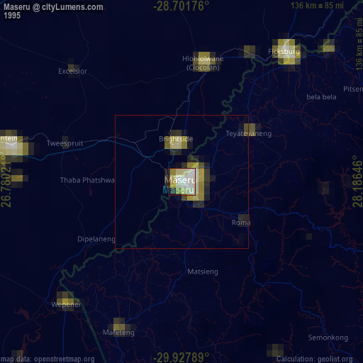
» NASA, Earths city lights 1995
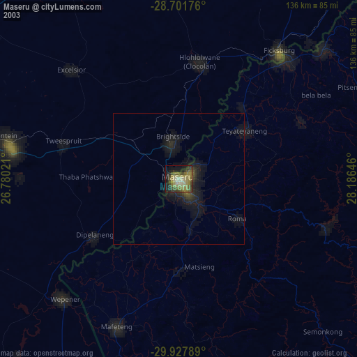
» NASA city lights 2003
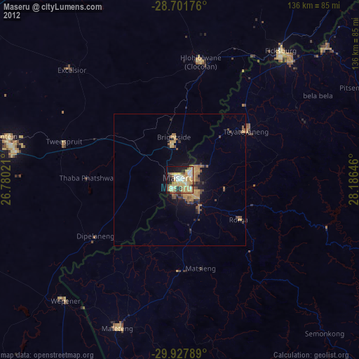
» Earth at Night: Flat Maps 2012, 2016