Zhetibay night lights from space
Night Light of Zhetibay (Mangghystaū) from space (Kazakhstan) Src. Average luminocity for 10x10km area is 3.8909% and for 50x50km: 0.5199%.
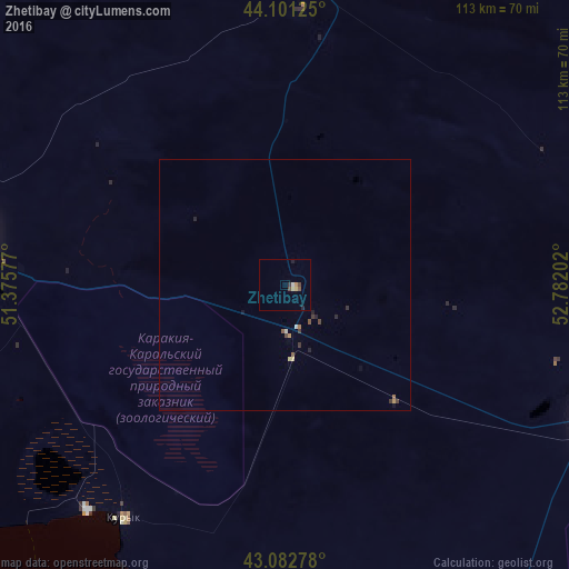
Analysis of Zhetibay night lights 2016
Square area 10x10 km:
 0%
0%90-99
0.61%80-89
1.06%70-79
0.3%60-69
0.45%50-59
0.3%40-49
1.06%30-39
0.76%20-29
0.91%10-19
0.61%0-9
93.94%Square area 50x50 km:
0%90-99
0.07%80-89
0.09%70-79
0.06%60-69
0.06%50-59
0.09%40-49
0.1%30-39
0.16%20-29
0.15%10-19
0.09%0-9
99.11%Clear (daylight) street map image can be seen on geolist.org.
Map coordinates:
44° 6' 4.5" North, 51° 22' 32.8" East
43° 35' 39" North, 52° 4' 44" East
43° 4' 58" North, 52° 46' 55.3" East
Some cities around Zhetibay sort by population:
• Aktau
73.7 km =45.8 mi,  274°
274°
• Derbent, RU
352.5 km =219 mi,  241°
241°
• Zhanaozen
69.2 km =43 mi,  113°
113°
• Beyneu
313.1 km =194.6 mi,  52°
52°
• Shetpe
63.7 km =39.6 mi,  2°
2°
• Yeraliyev
56.1 km =34.9 mi,  214°
214°
• Qaraton
334.7 km =208 mi,  19°
19°
• Fort-Shevchenko
177 km =110 mi,  304°
304°
607551 (p: 11,731)
Sources (retrieved 2019-11-25):
» Earth at Night: Flat Maps 2012, 2016